Bentiu night lights from space
Night Light of Bentiu (Northern Liech) from space (South Sudan) Src. Average luminocity for 10x10km area is 0% and for 50x50km: 0.0321%.
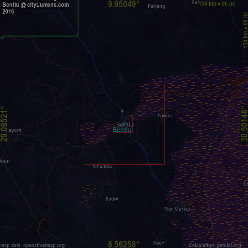
Analysis of Bentiu night lights 2016
Square area 10x10 km:
 0%
0%90-99
0%80-89
0%70-79
0%60-69
0%50-59
0%40-49
0%30-39
0%20-29
0%10-19
0%0-9
100%Square area 50x50 km:
0%90-99
0%80-89
0%70-79
0%60-69
0%50-59
0.03%40-49
0%30-39
0.03%20-29
0%10-19
0%0-9
99.93%Clear (daylight) street map image can be seen on geolist.org.
Map coordinates:
9° 57' 1.8" North, 29° 5' 42.8" East
9° 15' 26" North, 29° 47' 54" East
8° 33' 45.3" North, 30° 30' 5.3" East
Some cities around Bentiu sort by population:
• Malakal
206.6 km =128.4 mi,  81°
81°
• Kadugli, SD
195.2 km =121.3 mi,  357°
357°
• Gogrial
203.2 km =126.3 mi,  246°
246°
• Talodi, SD
165.6 km =102.9 mi,  22°
22°
• Leer
112.6 km =70 mi,  160°
160°
• Ayod
217.4 km =135.1 mi,  125°
125°
• Mayen Abun
160 km =99.4 mi,  265°
265°
• Pariang
75.9 km =47.2 mi, 15°
377472 (p: 7,653)
Sources (retrieved 2019-11-25):
» Earth at Night: Flat Maps 2012, 2016