Gogrial night lights from space
Night Light of Gogrial from space (South Sudan) Src. Average luminocity for 10x10km area is 0% and for 50x50km: 0%.

Analysis of Gogrial night lights 2016
Square area 10x10 km:
100  0%
0%
90-99 0%
80-89 0%
70-79 0%
60-69 0%
50-59 0%
40-49 0%
30-39 0%
20-29 0%
10-19 0%
0-9 100%
0%90-99
0%80-89
0%70-79
0%60-69
0%50-59
0%40-49
0%30-39
0%20-29
0%10-19
0%0-9
100%Square area 50x50 km:
100 0%
90-99 0%
80-89 0%
70-79 0%
60-69 0%
50-59 0%
40-49 0%
30-39 0%
20-29 0%
10-19 0%
0-9 100%
0%90-99
0%80-89
0%70-79
0%60-69
0%50-59
0%40-49
0%30-39
0%20-29
0%10-19
0%0-9
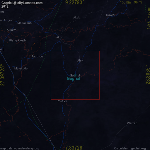
100%Clear (daylight) street map image can be seen on geolist.org.
Map coordinates:
9° 13' 40.5" North, 27° 23' 50.1" East
8° 31' 59.7" North, 28° 6' 1.3" East
7° 50' 14.2" North, 28° 48' 12.6" East
Some cities around Gogrial sort by population:
• Winejok
78.9 km =49 mi,  312°
312°
• Wau
93.3 km =58 mi,  187°
187°
• Aweil
81.9 km =50.9 mi,  288°
288°
• Tonj
153.8 km =95.6 mi,  155°
155°
• Bentiu
203.2 km =126.3 mi,  66°
66°
• Cueibet
209.7 km =130.3 mi,  143°
143°
• Mayen Abun
72.3 km =44.9 mi,  21°
21°
• Kuacjok
28.8 km =17.9 mi,  207°
207°
374739 (p: 38,572)
Sources (retrieved 2019-11-25):
» Earth at Night: Flat Maps 2012, 2016