Talodi night lights from space
Night Light of Talodi (Southern Kordofan) from space (Sudan) Src. Average luminocity for 10x10km area is 0% and for 50x50km: 0%.
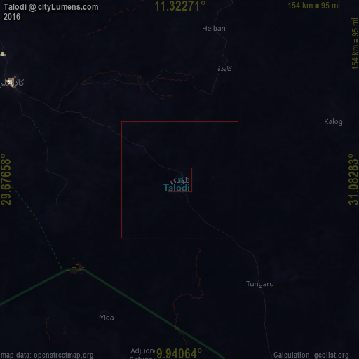
Analysis of Talodi night lights 2016
Square area 10x10 km:
 0%
0%90-99
0%80-89
0%70-79
0%60-69
0%50-59
0%40-49
0%30-39
0%20-29
0%10-19
0%0-9
100%Square area 50x50 km:
0%90-99
0%80-89
0%70-79
0%60-69
0%50-59
0%40-49
0%30-39
0%20-29
0%10-19
0%0-9
100%Clear (daylight) street map image can be seen on geolist.org.
Map coordinates:
11° 19' 21.8" North, 29° 40' 35.7" East
10° 37' 56.9" North, 30° 22' 46.9" East
9° 56' 26.3" North, 31° 4' 58.2" East
Some cities around Talodi sort by population:
• Malakal, SS
186 km =115.6 mi,  131°
131°
• Kadugli
83.6 km =51.9 mi,  300°
300°
• Dilling
176.6 km =109.7 mi,  333°
333°
• Abu Jibeha
130.3 km =81 mi,  45°
45°
• Al Lagowa
160.6 km =99.8 mi, 302°
• Bentiu, SS
165.6 km =102.9 mi,  202°
202°
• Kodok, SS
206.5 km =128.3 mi,  113°
113°
• Pariang, SS
90.9 km =56.5 mi,  208°
208°
366487 (p: 13,188)
Sources (retrieved 2019-11-25):
» Earth at Night: Flat Maps 2012, 2016