Leer night lights from space
Night Light of Leer (Southern Liech) from space (South Sudan) Src. Average luminocity for 10x10km area is 0% and for 50x50km: 0%.
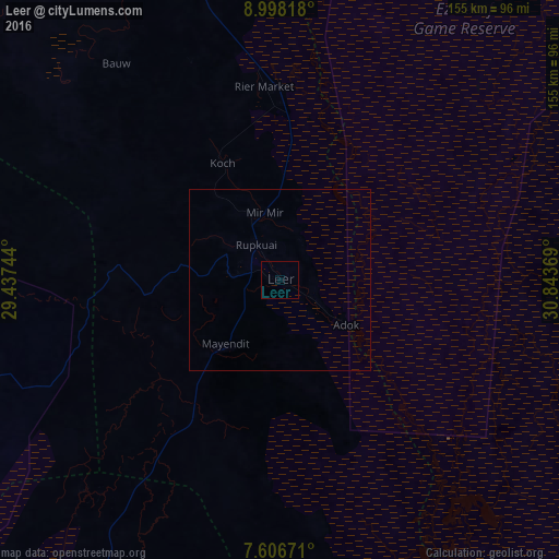
Analysis of Leer night lights 2016
Square area 10x10 km:
 0%
0%90-99
0%80-89
0%70-79
0%60-69
0%50-59
0%40-49
0%30-39
0%20-29
0%10-19
0%0-9
100%Square area 50x50 km:
0%90-99
0%80-89
0%70-79
0%60-69
0%50-59
0%40-49
0%30-39
0%20-29
0%10-19
0%0-9
100%Clear (daylight) street map image can be seen on geolist.org.
Map coordinates:
8° 59' 53.4" North, 29° 26' 14.8" East
8° 18' 11" North, 30° 8' 26" East
7° 36' 24.2" North, 30° 50' 37.3" East
Some cities around Leer sort by population:
• Malakal
215.8 km =134.1 mi,  50°
50°
• Rumbek
174.1 km =108.2 mi,  197°
197°
• Tonj
197.7 km =122.8 mi,  234°
234°
• Bentiu
112.6 km =70 mi,  340°
340°
• Yirol
198.6 km =123.4 mi,  168°
168°
• Pariang
180.1 km =111.9 mi,  354°
354°
• Cueibet
172.8 km =107.4 mi,  214°
214°
• Ayod
141 km =87.6 mi,  98°
98°
371466 (p: 10,486)
Sources (retrieved 2019-11-25):
» Earth at Night: Flat Maps 2012, 2016