Laascaanood night lights from space
Night Light of Laascaanood (Sool) from space (Somalia) Src. Average luminocity for 10x10km area is 1.6674% and for 50x50km: 0.0679%.
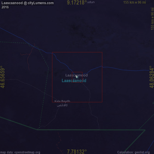
Analysis of Laascaanood night lights 2016
Square area 10x10 km:
 0%
0%90-99
0.21%80-89
0.62%70-79
0%60-69
0%50-59
0%40-49
0%30-39
2.27%20-29
0.21%10-19
0%0-9
96.69%Square area 50x50 km:
0%90-99
0.01%80-89
0.03%70-79
0%60-69
0%50-59
0%40-49
0%30-39
0.09%20-29
0.01%10-19
0%0-9
99.87%Clear (daylight) street map image can be seen on geolist.org.
Map coordinates:
9° 10' 19.8" North, 46° 39' 23.7" East
8° 28' 38.6" North, 47° 21' 35" East
7° 46' 52.8" North, 48° 3' 46.2" East
Some cities around Laascaanood sort by population:
• Berbera
337.3 km =209.6 mi,  310°
310°
• Burao
231.8 km =144 mi,  300°
300°
• Gaalkacyo
190 km =118.1 mi,  177°
177°
• Garoowe
123.8 km =76.9 mi,  93°
93°
• Ceerigaabo
237.8 km =147.8 mi,  0°
0°
• Eyl
275.9 km =171.4 mi,  101°
101°
• Las Khorey
312 km =193.9 mi,  17°
17°
• Oodweyne
272.6 km =169.4 mi,  292°
292°
400769 (p: 60,100)
Sources (retrieved 2019-11-25):
» NASA, Earths city lights 1995
» NASA city lights 2003
» Earth at Night: Flat Maps 2012, 2016