Las Khorey night lights from space
Night Light of Las Khorey (Sanaag) from space (Somalia) Src. Average luminocity for 10x10km area is 0% and for 50x50km: 0%.
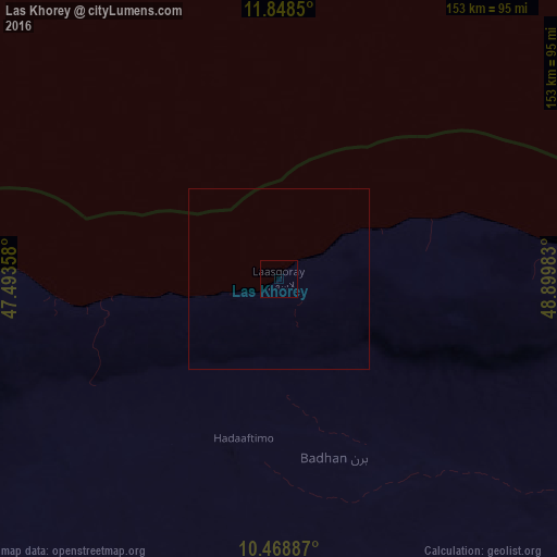
Analysis of Las Khorey night lights 2016
Square area 10x10 km:
 0%
0%90-99
0%80-89
0%70-79
0%60-69
0%50-59
0%40-49
0%30-39
0%20-29
0%10-19
0%0-9
100%Square area 50x50 km:
0%90-99
0%80-89
0%70-79
0%60-69
0%50-59
0%40-49
0%30-39
0%20-29
0%10-19
0%0-9
100%Clear (daylight) street map image can be seen on geolist.org.
Map coordinates:
11° 50' 54.6" North, 47° 29' 36.9" East
11° 9' 34.2" North, 48° 11' 48.1" East
10° 28' 7.9" North, 48° 53' 59.4" East
Some cities around Las Khorey sort by population:
• Bosaso
108.3 km =67.3 mi,  82°
82°
• Laascaanood
312 km =193.9 mi,  197°
197°
• Garoowe
308.2 km =191.5 mi,  174°
174°
• Ceerigaabo
108.8 km =67.6 mi,  236°
236°
• Qandala
186 km =115.6 mi, 79°
• Bargaal
314.5 km =195.4 mi,  87°
87°
• Caluula
293 km =182.1 mi,  72°
72°
• Iskushuban
242.5 km =150.7 mi,  113°
113°
55223 (p: 6,941)
Sources (retrieved 2019-11-25):
» Earth at Night: Flat Maps 2012, 2016