Garoowe night lights from space
Night Light of Garoowe (Nugaal) from space (Somalia) Src. Average luminocity for 10x10km area is 9.1736% and for 50x50km: 0.3864%.
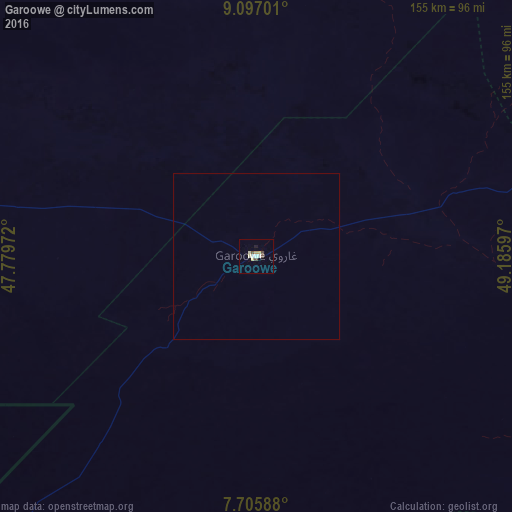

Analysis of Garoowe night lights 2016
Square area 10x10 km:
 1.03%
1.03%90-99
1.65%80-89
2.27%70-79
1.65%60-69
0%50-59
0%40-49
3.31%30-39
0%20-29
0.21%10-19
0.62%0-9
89.26%Square area 50x50 km:
0.04%90-99
0.07%80-89
0.09%70-79
0.07%60-69
0%50-59
0%40-49
0.13%30-39
0%20-29
0.01%10-19
0.03%0-9
99.56%Clear (daylight) street map image can be seen on geolist.org.
Map coordinates:
9° 5' 49.2" North, 47° 46' 47" East
8° 24' 7.5" North, 48° 28' 58.2" East
7° 42' 21.2" North, 49° 11' 9.5" East
Some cities around Garoowe sort by population:
• Bosaso
329.5 km =204.7 mi,  13°
13°
• Gaalkacyo
215.4 km =133.8 mi,  212°
212°
• Laascaanood
123.8 km =76.9 mi,  273°
273°
• Ceerigaabo
274.9 km =170.8 mi,  333°
333°
• Eyl
154.1 km =95.8 mi,  107°
107°
• Bandarbeyla
283.2 km =176 mi,  64°
64°
• Las Khorey
308.2 km =191.5 mi,  354°
354°
• Iskushuban
283.7 km =176.3 mi,  42°
42°
58933 (p: 57,300)
Sources (retrieved 2019-11-25):
» NASA, Earths city lights 1995
» NASA city lights 2003
» Earth at Night: Flat Maps 2012, 2016