Eyl night lights from space
Night Light of Eyl (Nugaal) from space (Somalia) Src. Average luminocity for 10x10km area is 0% and for 50x50km: 0%.
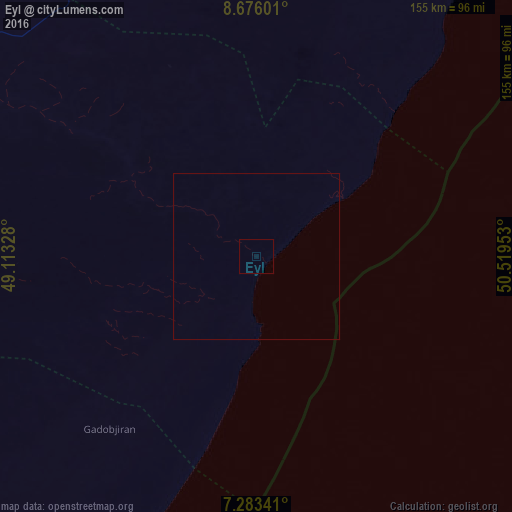
Analysis of Eyl night lights 2016
Square area 10x10 km:
 0%
0%90-99
0%80-89
0%70-79
0%60-69
0%50-59
0%40-49
0%30-39
0%20-29
0%10-19
0%0-9
100%Square area 50x50 km:
0%90-99
0%80-89
0%70-79
0%60-69
0%50-59
0%40-49
0%30-39
0%20-29
0%10-19
0%0-9
100%Clear (daylight) street map image can be seen on geolist.org.
Map coordinates:
8° 40' 33.6" North, 49° 6' 47.8" East
7° 58' 49.1" North, 49° 48' 59" East
7° 17' 0.3" North, 50° 31' 10.3" East
Some cities around Eyl sort by population:
• Bosaso
373.9 km =232.3 mi,  349°
349°
• Gaalkacyo
295.5 km =183.6 mi,  242°
242°
• Laascaanood
275.9 km =171.4 mi,  281°
281°
• Garoowe
154.1 km =95.8 mi,  287°
287°
• Qandala
388.3 km =241.3 mi,  0°
0°
• Bandarbeyla
200.8 km =124.8 mi,  33°
33°
• Hobyo
325.2 km =202.1 mi,  205°
205°
• Iskushuban
260.1 km =161.6 mi,  10°
10°
60019 (p: 18,904)
Sources (retrieved 2019-11-25):
» Earth at Night: Flat Maps 2012, 2016