Hobyo night lights from space
Night Light of Hobyo (Mudug) from space (Somalia) Src. Average luminocity for 10x10km area is 0% and for 50x50km: 0%.
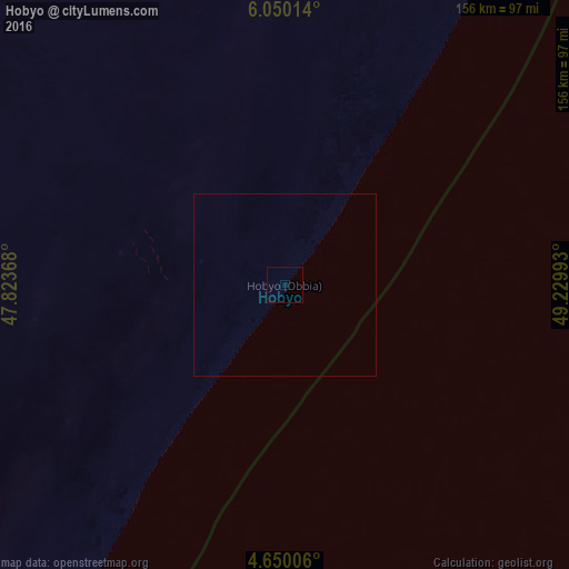
Analysis of Hobyo night lights 2016
Square area 10x10 km:
 0%
0%90-99
0%80-89
0%70-79
0%60-69
0%50-59
0%40-49
0%30-39
0%20-29
0%10-19
0%0-9
100%Square area 50x50 km:
0%90-99
0%80-89
0%70-79
0%60-69
0%50-59
0%40-49
0%30-39
0%20-29
0%10-19
0%0-9
100%Clear (daylight) street map image can be seen on geolist.org.
Map coordinates:
6° 3' 0.5" North, 47° 49' 25.2" East
5° 21' 1.8" North, 48° 31' 36.5" East
4° 39' 0.2" North, 49° 13' 47.7" East
Some cities around Hobyo sort by population:
• Gaalkacyo
199 km =123.7 mi,  322°
322°
• Laascaanood
370.8 km =230.4 mi,  339°
339°
• Garoowe
339.3 km =210.8 mi,  359°
359°
• Ceeldheer
223.9 km =139.1 mi,  221°
221°
• Eyl
325.2 km =202.1 mi,  25°
25°
• Buulobarde
367.8 km =228.5 mi,  243°
243°
• Ceelbuur
224 km =139.2 mi,  250°
250°
• Dhuusamarreeb
237.8 km =147.8 mi,  274°
274°
57000 (p: 12,564)
Sources (retrieved 2019-11-25):
» Earth at Night: Flat Maps 2012, 2016