Ceelbuur night lights from space
Night Light of Ceelbuur (Galguduud) from space (Somalia) Src. Average luminocity for 10x10km area is 0% and for 50x50km: 0%.
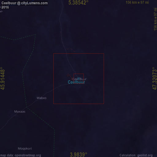
Analysis of Ceelbuur night lights 2016
Square area 10x10 km:
 0%
0%90-99
0%80-89
0%70-79
0%60-69
0%50-59
0%40-49
0%30-39
0%20-29
0%10-19
0%0-9
100%Square area 50x50 km:
0%90-99
0%80-89
0%70-79
0%60-69
0%50-59
0%40-49
0%30-39
0%20-29
0%10-19
0%0-9
100%Clear (daylight) street map image can be seen on geolist.org.
Map coordinates:
5° 23' 7.5" North, 45° 54' 52.1" East
4° 41' 6" North, 46° 37' 3.4" East
3° 59' 2" North, 47° 19' 14.6" East
Some cities around Ceelbuur sort by population:
• Beledweyne
156.8 km =97.4 mi,  272°
272°
• Ceeldheer
112 km =69.6 mi,  146°
146°
• Buulobarde
148.7 km =92.4 mi,  231°
231°
• Hobyo
224 km =139.2 mi,  70°
70°
• Jalalaqsi
184.2 km =114.5 mi,  217°
217°
• Dhuusamarreeb
98 km =60.9 mi,  344°
344°
• Mahaddayweyne
225.1 km =139.9 mi,  212°
212°
• Cadale
216.5 km =134.5 mi,  188°
188°
62821 (p: 9,031)
Sources (retrieved 2019-11-25):
» Earth at Night: Flat Maps 2012, 2016