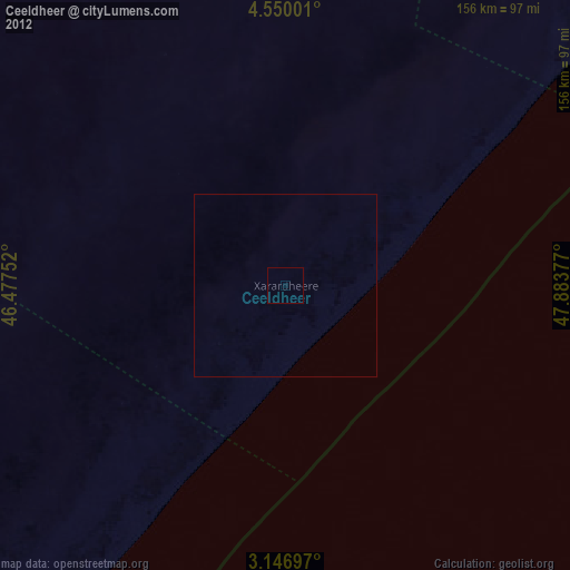
Ceeldheer night lights from space
Night Light of Ceeldheer (Galguduud) from space (Somalia) Src. Average luminocity for 10x10km area is 0% and for 50x50km: 0%.

Analysis of Ceeldheer night lights 2016
Square area 10x10 km:
 0%
0%90-99
0%80-89
0%70-79
0%60-69
0%50-59
0%40-49
0%30-39
0%20-29
0%10-19
0%0-9
100%Square area 50x50 km:
0%90-99
0%80-89
0%70-79
0%60-69
0%50-59
0%40-49
0%30-39
0%20-29
0%10-19
0%0-9
100%Clear (daylight) street map image can be seen on geolist.org.
Map coordinates:
4° 33' 0" North, 46° 28' 39.1" East
3° 50' 55.6" North, 47° 10' 50.3" East
3° 8' 49.1" North, 47° 53' 1.6" East
Some cities around Ceeldheer sort by population:
• Jawhar
221.1 km =137.4 mi,  237°
237°
• Buulobarde
179 km =111.2 mi,  270°
270°
• Hobyo
223.9 km =139.1 mi,  41°
41°
• Jalalaqsi
183.1 km =113.8 mi,  253°
253°
• Ceelbuur
112 km =69.6 mi,  326°
326°
• Dhuusamarreeb
207.2 km =128.7 mi, 334°
• Mahaddayweyne
207 km =128.6 mi, 241°
• Cadale
154 km =95.7 mi,  218°
218°
62788 (p: 26,562)
Sources (retrieved 2019-11-25):
» Earth at Night: Flat Maps 2012, 2016