Buulobarde night lights from space
Night Light of Buulobarde (Hiiraan) from space (Somalia) Src. Average luminocity for 10x10km area is 0% and for 50x50km: 0%.
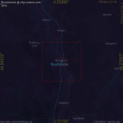
Analysis of Buulobarde night lights 2016
Square area 10x10 km:
 0%
0%90-99
0%80-89
0%70-79
0%60-69
0%50-59
0%40-49
0%30-39
0%20-29
0%10-19
0%0-9
100%Square area 50x50 km:
0%90-99
0%80-89
0%70-79
0%60-69
0%50-59
0%40-49
0%30-39
0%20-29
0%10-19
0%0-9
100%Clear (daylight) street map image can be seen on geolist.org.
Map coordinates:
4° 33' 17.9" North, 44° 51' 51.6" East
3° 51' 13.5" North, 45° 34' 2.8" East
3° 9' 7" North, 46° 16' 14.1" East
Some cities around Buulobarde sort by population:
• Beledweyne
106.1 km =65.9 mi,  337°
337°
• Jawhar
119.5 km =74.3 mi,  183°
183°
• Ceeldheer
179 km =111.2 mi,  90°
90°
• Wanlaweyn
156.4 km =97.2 mi,  208°
208°
• Jalalaqsi
53.2 km =33.1 mi, 176°
• Ceelbuur
148.7 km =92.4 mi,  51°
51°
• Mahaddayweyne
98 km =60.9 mi, 182°
• Cadale
147.7 km =91.8 mi,  145°
145°
63689 (p: 16,928)
Sources (retrieved 2019-11-25):
» Earth at Night: Flat Maps 2012, 2016