Dhuusamarreeb night lights from space
Night Light of Dhuusamarreeb (Galguduud) from space (Somalia) Src. Average luminocity for 10x10km area is 0.4215% and for 50x50km: 0.0175%.
Analysis of Dhuusamarreeb night lights 2016
Square area 10x10 km:
 0%
0%90-99
0%80-89
0%70-79
0%60-69
0%50-59
0%40-49
0.83%30-39
0%20-29
0%10-19
0%0-9
99.17%Square area 50x50 km:
0%90-99
0%80-89
0%70-79
0%60-69
0%50-59
0%40-49
0.03%30-39
0%20-29
0%10-19
0%0-9
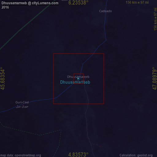
99.97%Clear (daylight) street map image can be seen on geolist.org.
Map coordinates:
6° 14' 7.4" North, 45° 41' 0.7" East
5° 32' 9.5" North, 46° 23' 12" East
4° 50' 8.6" North, 47° 5' 23.2" East
Some cities around Dhuusamarreeb sort by population:
• Gaalkacyo
179.3 km =111.4 mi,  40°
40°
• Beledweyne
158.4 km =98.4 mi,  235°
235°
• Ceeldheer
207.2 km =128.7 mi,  154°
154°
• Buulobarde
207.9 km =129.2 mi,  205°
205°
• Hobyo
237.8 km =147.8 mi,  94°
94°
• Jalalaqsi
255.5 km =158.8 mi,  199°
199°
• Ceelbuur
98 km =60.9 mi,  164°
164°
• Mahaddayweyne
300.3 km =186.6 mi, 198°
60928 (p: 9,000)
Sources (retrieved 2019-11-25):
» Earth at Night: Flat Maps 2012, 2016