Rosso night lights from space
Night Light of Rosso (Saint-Louis) from space (Senegal) Src. Average luminocity for 10x10km area is 0.0909% and for 50x50km: 0.8419%.
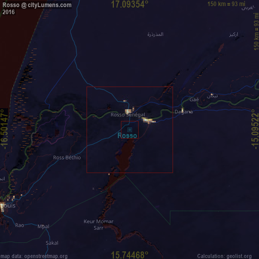
Analysis of Rosso night lights 2016
Square area 10x10 km:
 0%
0%90-99
0%80-89
0%70-79
0%60-69
0%50-59
0%40-49
0%30-39
0%20-29
0%10-19
0%0-9
100%Square area 50x50 km:
0.02%90-99
0.06%80-89
0.13%70-79
0.05%60-69
0.19%50-59
0.3%40-49
0.13%30-39
0.14%20-29
0.14%10-19
0.12%0-9
98.71%Clear (daylight) street map image can be seen on geolist.org.
Map coordinates:
17° 5' 36.7" North, 16° 30' 5.3" West
16° 25' 13" North, 15° 47' 54" West
15° 44' 40.8" North, 15° 5' 42.8" West
Some cities around Rosso sort by population:
• Saint-Louis
86.3 km =53.6 mi,  238°
238°
• Louga
100.1 km =62.2 mi,  207°
207°
• Richard-Toll
11.4 km =7.1 mi,  65°
65°
• Dara
123.9 km =77 mi,  164°
164°
• Ndibène Dahra
125.6 km =78 mi, 164°
• Tékane, MR
52 km =32.3 mi, 67°
• Ndioum
123.2 km =76.6 mi,  85°
85°
• Guéoul
119.7 km =74.4 mi, 209°
2246522 (p: 9,923)
Sources (retrieved 2019-11-25):
» Earth at Night: Flat Maps 2012, 2016