Ndioum night lights from space
Night Light of Ndioum (Saint-Louis) from space (Senegal) Src. Average luminocity for 10x10km area is 0% and for 50x50km: 0%.
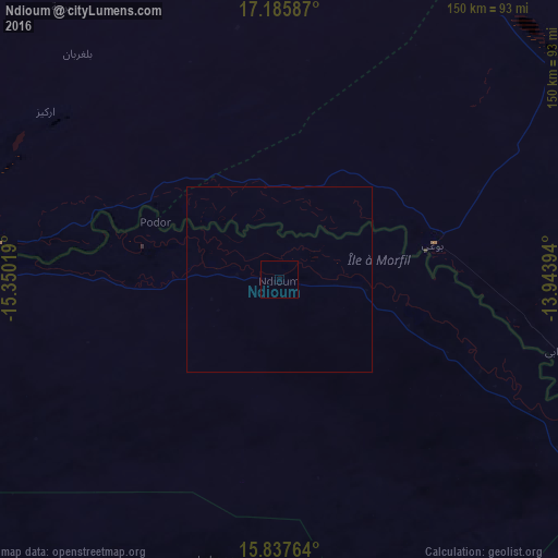
Analysis of Ndioum night lights 2016
Square area 10x10 km:
 0%
0%90-99
0%80-89
0%70-79
0%60-69
0%50-59
0%40-49
0%30-39
0%20-29
0%10-19
0%0-9
100%Square area 50x50 km:
0%90-99
0%80-89
0%70-79
0%60-69
0%50-59
0%40-49
0%30-39
0%20-29
0%10-19
0%0-9
100%Clear (daylight) street map image can be seen on geolist.org.
Map coordinates:
17° 11' 9.1" North, 15° 21' 0.7" West
16° 30' 46.5" North, 14° 38' 49.4" West
15° 50' 15.5" North, 13° 56' 38.2" West
Some cities around Ndioum sort by population:
• Kaédi, MR
128.5 km =79.8 mi,  108°
108°
• Rosso, MR
123.4 km =76.7 mi,  270°
270°
• Richard-Toll
112.5 km =69.9 mi, 267°
• Dara
157.1 km =97.6 mi,  214°
214°
• Tékane, MR
75.4 km =46.9 mi,  277°
277°
• Aleg, MR
98.6 km =61.3 mi,  52°
52°
• Rosso
123.2 km =76.6 mi, 265°
• Goléré
64.8 km =40.3 mi,  116°
116°
2247684 (p: 13,198)
Sources (retrieved 2019-11-25):
» Earth at Night: Flat Maps 2012, 2016