Richard-Toll night lights from space
Night Light of Richard-Toll (Saint-Louis) from space (Senegal) Src. Average luminocity for 10x10km area is 11.2045% and for 50x50km: 0.9172%.
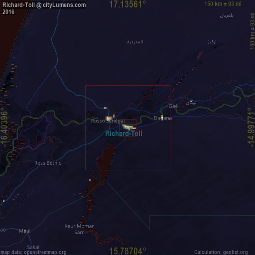
Analysis of Richard-Toll night lights 2016
Square area 10x10 km:
 0.62%
0.62%90-99
0.21%80-89
2.07%70-79
1.24%60-69
0.83%50-59
5.58%40-49
2.48%30-39
1.86%20-29
1.45%10-19
1.03%0-9
82.64%Square area 50x50 km:
0.02%90-99
0.06%80-89
0.17%70-79
0.05%60-69
0.19%50-59
0.33%40-49
0.17%30-39
0.15%20-29
0.15%10-19
0.12%0-9
98.59%Clear (daylight) street map image can be seen on geolist.org.
Map coordinates:
17° 8' 8.2" North, 16° 24' 14.3" West
16° 27' 45" North, 15° 42' 3" West
15° 47' 13.3" North, 14° 59' 51.8" West
Some cities around Richard-Toll sort by population:
• Saint-Louis
97.6 km =60.6 mi,  239°
239°
• Louga
109.2 km =67.9 mi,  210°
210°
• Rosso, MR
12.5 km =7.8 mi,  297°
297°
• Dara
126.1 km =78.4 mi,  169°
169°
• Ndibène Dahra
127.8 km =79.4 mi, 169°
• Tékane, MR
40.6 km =25.2 mi,  67°
67°
• Ndioum
112.5 km =69.9 mi,  87°
87°
• Rosso
11.4 km =7.1 mi,  245°
245°
2246544 (p: 44,752)
Sources (retrieved 2019-11-25):
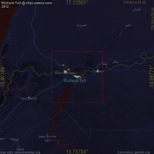
» Earth at Night: Flat Maps 2012, 2016