Saint-Louis night lights from space
Night Light of Saint-Louis from space (Senegal) Src. Average luminocity for 10x10km area is 13.7397% and for 50x50km: 0.7073%.
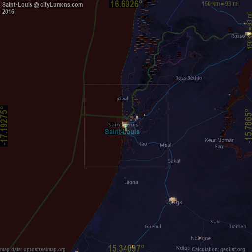
Analysis of Saint-Louis night lights 2016
Square area 10x10 km:
 0%
0%90-99
1.03%80-89
2.89%70-79
1.86%60-69
1.65%50-59
1.86%40-49
5.79%30-39
1.45%20-29
4.13%10-19
0%0-9
79.34%Square area 50x50 km:
0%90-99
0.04%80-89
0.13%70-79
0.09%60-69
0.1%50-59
0.1%40-49
0.27%30-39
0.12%20-29
0.2%10-19
0.03%0-9
98.91%Clear (daylight) street map image can be seen on geolist.org.
Map coordinates:
16° 41' 33.4" North, 17° 11' 33.9" West
16° 1' 4.5" North, 16° 29' 22.6" West
15° 20' 27.5" North, 15° 47' 11.4" West
Some cities around Saint-Louis sort by population:
• Louga
52.7 km =32.7 mi,  147°
147°
• Rosso, MR
91.5 km =56.9 mi,  52°
52°
• Richard-Toll
97.6 km =60.6 mi,  59°
59°
• Dara
131.2 km =81.5 mi,  124°
124°
• Ndibène Dahra
132.5 km =82.3 mi,  125°
125°
• Mékhé
102 km =63.4 mi,  187°
187°
• Guéoul
61.3 km =38.1 mi,  165°
165°
• Rosso
86.3 km =53.6 mi, 58°
2246452 (p: 176,000)
Sources (retrieved 2019-11-25):
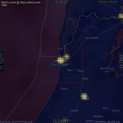
» NASA, Earths city lights 1995
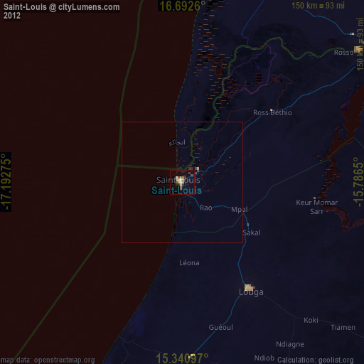
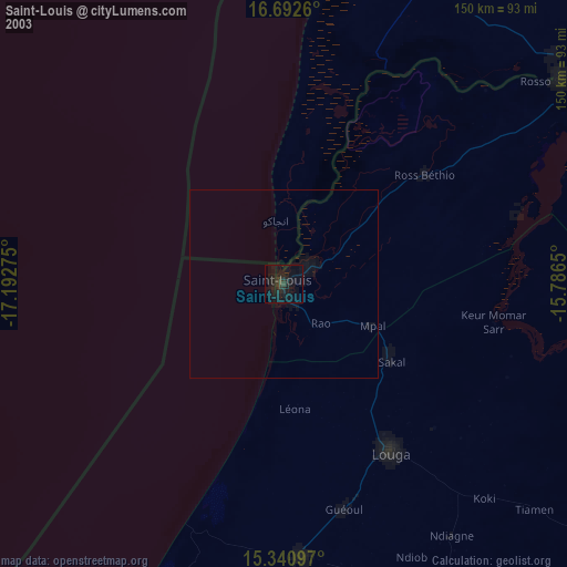
» NASA city lights 2003
» Earth at Night: Flat Maps 2012, 2016