Louga night lights from space
Night Light of Louga from space (Senegal) Src. Average luminocity for 10x10km area is 9.2662% and for 50x50km: 0.3891%.
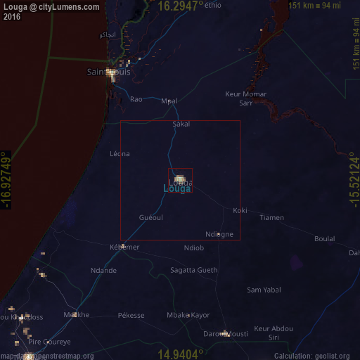
Analysis of Louga night lights 2016
Square area 10x10 km:
 0%
0%90-99
0.87%80-89
0%70-79
4.11%60-69
2.38%50-59
1.3%40-49
2.16%30-39
1.95%20-29
0.22%10-19
0%0-9
87.01%Square area 50x50 km:
0%90-99
0.03%80-89
0%70-79
0.16%60-69
0.09%50-59
0.08%40-49
0.08%30-39
0.08%20-29
0.01%10-19
0%0-9
99.47%Clear (daylight) street map image can be seen on geolist.org.
Map coordinates:
16° 17' 40.9" North, 16° 55' 39" West
15° 37' 7.2" North, 16° 13' 27.7" West
14° 56' 25.4" North, 15° 31' 16.5" West
Some cities around Louga sort by population:
• Touba
93 km =57.8 mi,  156°
156°
• Saint-Louis
52.7 km =32.7 mi,  327°
327°
• Mbaké
98.2 km =61 mi, 159°
• Dara
85.2 km =52.9 mi,  110°
110°
• Ndibène Dahra
86.2 km =53.6 mi, 111°
• Mékhé
70.8 km =44 mi,  216°
216°
• Guéoul
20.2 km =12.6 mi, 221°
• Rosso
100.1 km =62.2 mi,  27°
27°
2249222 (p: 67,154)
Sources (retrieved 2019-11-25):
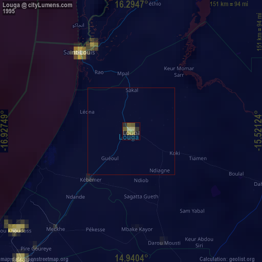
» NASA, Earths city lights 1995
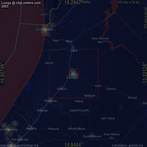
» NASA city lights 2003
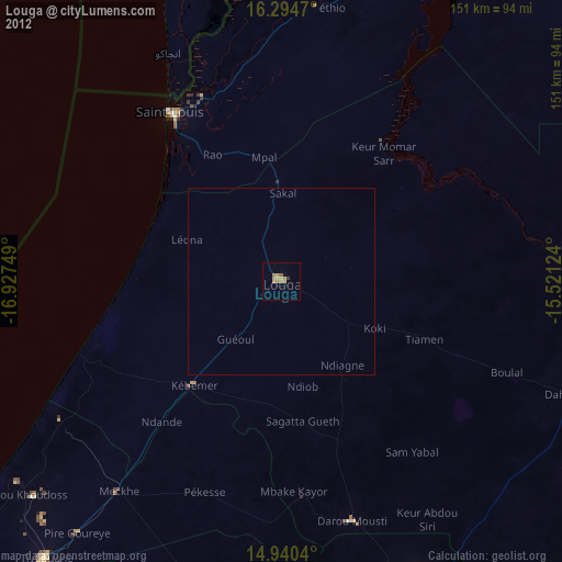
» Earth at Night: Flat Maps 2012, 2016