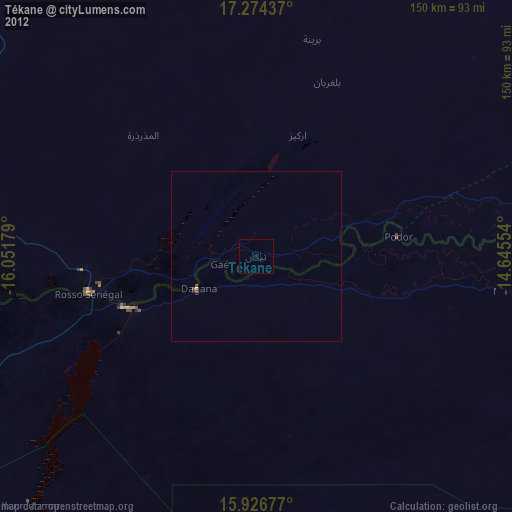
Tékane night lights from space
Night Light of Tékane (Trarza) from space (Mauritania) Src. Average luminocity for 10x10km area is 0.5671% and for 50x50km: 0.1043%.
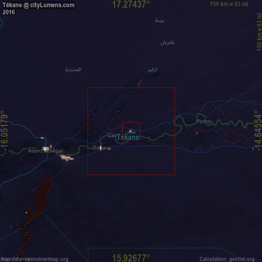
Analysis of Tékane night lights 2016
Square area 10x10 km:
 0%
0%90-99
0%80-89
0%70-79
0%60-69
0.87%50-59
0%40-49
0%30-39
0%20-29
0%10-19
0%0-9
99.13%Square area 50x50 km:
0%90-99
0%80-89
0.03%70-79
0%60-69
0.03%50-59
0.03%40-49
0.03%30-39
0.03%20-29
0.01%10-19
0%0-9
99.83%Clear (daylight) street map image can be seen on geolist.org.
Map coordinates:
17° 16' 27.7" North, 16° 3' 6.4" West
16° 36' 6.3" North, 15° 20' 55.2" West
15° 55' 36.4" North, 14° 38' 43.9" West
Some cities around Tékane sort by population:
• Saint-Louis, SN
138 km =85.7 mi,  241°
241°
• Rosso
49.6 km =30.8 mi,  258°
258°
• Richard-Toll, SN
40.6 km =25.2 mi,  247°
247°
• Dara, SN
140.1 km =87.1 mi,  185°
185°
• Ndibène Dahra, SN
141.6 km =88 mi, 185°
• Ndioum, SN
75.4 km =46.9 mi,  97°
97°
• Rosso, SN
52 km =32.3 mi, 247°
• Goléré, SN
138.4 km =86 mi,  106°
106°
2376189 (p: 22,041)
Sources (retrieved 2019-11-25):
» Earth at Night: Flat Maps 2012, 2016