Rosso night lights from space
Night Light of Rosso (Trarza) from space (Mauritania) Src. Average luminocity for 10x10km area is 8.1777% and for 50x50km: 0.8419%.
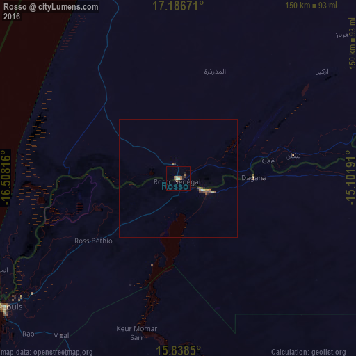
Analysis of Rosso night lights 2016
Square area 10x10 km:
 0%
0%90-99
1.24%80-89
1.24%70-79
0%60-69
3.1%50-59
1.86%40-49
0.83%30-39
1.24%20-29
1.65%10-19
2.07%0-9
86.78%Square area 50x50 km:
0.02%90-99
0.06%80-89
0.13%70-79
0.05%60-69
0.19%50-59
0.3%40-49
0.13%30-39
0.14%20-29
0.14%10-19
0.12%0-9
98.71%Clear (daylight) street map image can be seen on geolist.org.
Map coordinates:
17° 11' 12.2" North, 16° 30' 29.4" West
16° 30' 49.6" North, 15° 48' 18.1" West
15° 50' 18.6" North, 15° 6' 6.9" West
Some cities around Rosso sort by population:
• Saint-Louis, SN
91.5 km =56.9 mi,  232°
232°
• Louga, SN
109.1 km =67.8 mi,  204°
204°
• Richard-Toll, SN
12.5 km =7.8 mi,  117°
117°
• Dara, SN
134.2 km =83.4 mi,  164°
164°
• Ndibène Dahra, SN
135.8 km =84.4 mi,  165°
165°
• Tékane
49.6 km =30.8 mi,  78°
78°
• Ndioum, SN
123.4 km =76.7 mi,  90°
90°
• Guéoul, SN
128.5 km =79.8 mi,  206°
206°
2376898 (p: 48,922)
Sources (retrieved 2019-11-25):
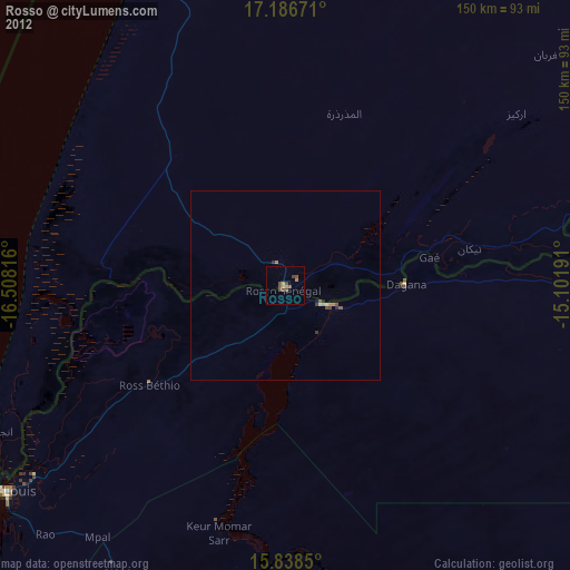
» Earth at Night: Flat Maps 2012, 2016