Aleg night lights from space
Night Light of Aleg (Brakna) from space (Mauritania) Src. Average luminocity for 10x10km area is 1.0866% and for 50x50km: 0.0409%.
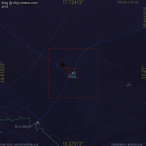
Analysis of Aleg night lights 2016
Square area 10x10 km:
 0%
0%90-99
0%80-89
0%70-79
0%60-69
0%50-59
0.87%40-49
0%30-39
0.87%20-29
0.87%10-19
0%0-9
97.4%Square area 50x50 km:
0%90-99
0%80-89
0%70-79
0%60-69
0%50-59
0.03%40-49
0%30-39
0.03%20-29
0.03%10-19
0%0-9
99.9%Clear (daylight) street map image can be seen on geolist.org.
Map coordinates:
17° 43' 26.9" North, 14° 36' 58.5" West
17° 3' 11.3" North, 13° 54' 47.2" West
16° 22' 47" North, 13° 12' 36" West
Some cities around Aleg sort by population:
• Kaédi
109.5 km =68 mi,  156°
156°
• Richard-Toll, SN
201.3 km =125.1 mi,  250°
250°
• Tékane
160.8 km =99.9 mi, 251°
• Matam, SN
170.5 km =105.9 mi, 155°
• Ouro Sogui, SN
172.8 km =107.4 mi, 158°
• Ndioum, SN
98.6 km =61.3 mi,  232°
232°
• Kanel, SN
190.6 km =118.4 mi, 155°
• Goléré, SN
90.9 km =56.5 mi,  192°
192°
2381659 (p: 15,211)
Sources (retrieved 2019-11-25):
» Earth at Night: Flat Maps 2012, 2016