Kaédi night lights from space
Night Light of Kaédi (Gorgol) from space (Mauritania) Src. Average luminocity for 10x10km area is 0.8182% and for 50x50km: 0.033%.
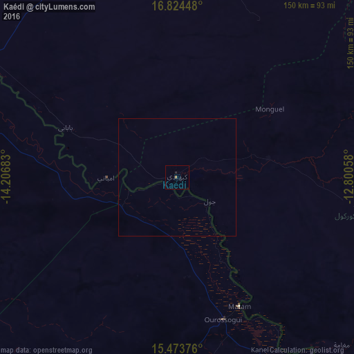
Analysis of Kaédi night lights 2016
Square area 10x10 km:
 0%
0%90-99
0%80-89
0%70-79
0%60-69
0.83%50-59
0%40-49
0%30-39
0%20-29
0.83%10-19
0%0-9
98.35%Square area 50x50 km:
0%90-99
0%80-89
0%70-79
0%60-69
0.03%50-59
0%40-49
0%30-39
0%20-29
0.03%10-19
0%0-9
99.93%Clear (daylight) street map image can be seen on geolist.org.
Map coordinates:
16° 49' 28.1" North, 14° 12' 24.6" West
16° 9' 1" North, 13° 30' 13.3" West
15° 28' 25.5" North, 12° 48' 2.1" West
Some cities around Kaédi sort by population:
• Matam, SN
61 km =37.9 mi,  154°
154°
• Aleg
109.5 km =68 mi,  336°
336°
• Ouro Sogui, SN
63.6 km =39.5 mi,  162°
162°
• Ndioum, SN
128.5 km =79.8 mi,  288°
288°
• Kanel, SN
81.2 km =50.5 mi, 154°
• Waoundé, SN
119.8 km =74.4 mi, 145°
• Goléré, SN
64.9 km =40.3 mi,  280°
280°
• Sémé, SN
122 km =75.8 mi, 150°
2378736 (p: 55,374)
Sources (retrieved 2019-11-25):
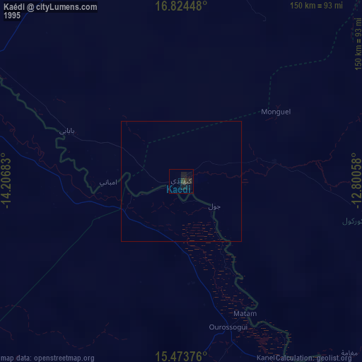
» NASA, Earths city lights 1995
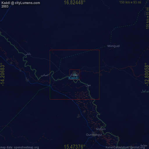
» NASA city lights 2003
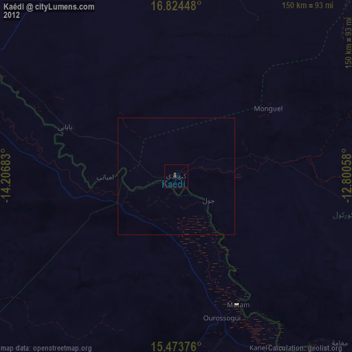
» Earth at Night: Flat Maps 2012, 2016