Goléré night lights from space
Night Light of Goléré (Saint-Louis) from space (Senegal) Src. Average luminocity for 10x10km area is 0% and for 50x50km: 0%.
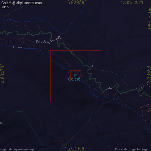
Analysis of Goléré night lights 2016
Square area 10x10 km:
 0%
0%90-99
0%80-89
0%70-79
0%60-69
0%50-59
0%40-49
0%30-39
0%20-29
0%10-19
0%0-9
100%Square area 50x50 km:
0%90-99
0%80-89
0%70-79
0%60-69
0%50-59
0%40-49
0%30-39
0%20-29
0%10-19
0%0-9
100%Clear (daylight) street map image can be seen on geolist.org.
Map coordinates:
16° 55' 46.5" North, 14° 48' 17.2" West
16° 15' 20.7" North, 14° 6' 5.9" West
15° 34' 46.5" North, 13° 23' 54.7" West
Some cities around Goléré sort by population:
• Kaédi, MR
64.9 km =40.3 mi,  100°
100°
• Tékane, MR
138.4 km =86 mi,  286°
286°
• Matam
112.4 km =69.8 mi,  126°
126°
• Aleg, MR
90.9 km =56.5 mi,  12°
12°
• Ouro Sogui
110.3 km =68.5 mi, 130°
• Ndioum
64.8 km =40.3 mi,  296°
296°
• Kanel
130.4 km =81 mi, 130°
• Sémé
171.1 km =106.3 mi, 133°
2251544 (p: 5,461)
Sources (retrieved 2019-11-25):
» Earth at Night: Flat Maps 2012, 2016