Chlmec night lights from space
Night Light of Chlmec (Prešovský kraj) from space (Slovakia) Src. Average luminocity for 10x10km area is 2.3935% and for 50x50km: 1.2264%.
Analysis of Chlmec night lights 2016
Square area 10x10 km:
 0%
0%90-99
0%80-89
0.57%70-79
1.14%60-69
0.14%50-59
0.43%40-49
0%30-39
0%20-29
0%10-19
0.57%0-9
97.16%Square area 50x50 km:
0.11%90-99
0.16%80-89
0.18%70-79
0.3%60-69
0.1%50-59
0.21%40-49
0.11%30-39
0.11%20-29
0.12%10-19
0.12%0-9
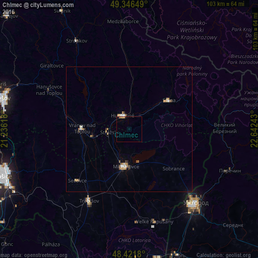
98.47%Clear (daylight) street map image can be seen on geolist.org.
Map coordinates:
49° 20' 47.4" North, 21° 14' 10.2" East
48° 53' 10.6" North, 21° 56' 21.5" East
48° 25' 18.5" North, 22° 38' 32.7" East
Some cities around Chlmec sort by population:
• Michalovce
14.7 km =9.1 mi,  185°
185°
• Humenné
5.9 km =3.7 mi,  343°
343°
• Vranov nad Topľou
18.6 km =11.6 mi,  270°
270°
• Trebišov
32.9 km =20.4 mi,  209°
209°
• Snina
19.2 km =11.9 mi,  53°
53°
• Sečovce
29 km =18 mi,  224°
224°
• Velykyi Bereznyi, UA
38.1 km =23.7 mi,  89°
89°
• Sobrance
23.7 km =14.7 mi,  131°
131°
724969 (p: 8,031)
Sources (retrieved 2019-11-25):
» Earth at Night: Flat Maps 2012, 2016