Vranov nad Topľou night lights from space
Night Light of Vranov nad Topľou (Prešovský kraj) from space (Slovakia) Src. Average luminocity for 10x10km area is 4.6705% and for 50x50km: 1.0674%.
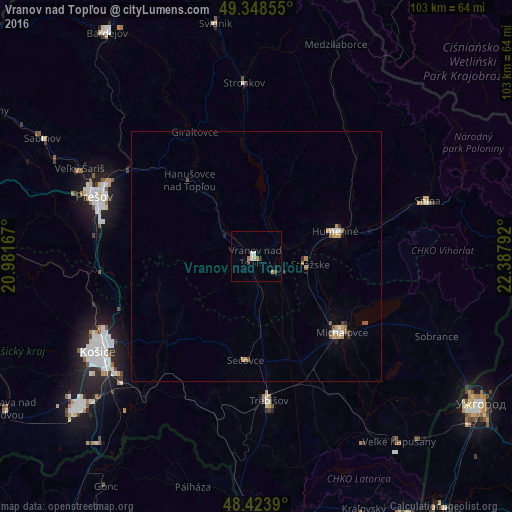
Analysis of Vranov nad Topľou night lights 2016
Square area 10x10 km:
 0.57%
0.57%90-99
0.99%80-89
0.71%70-79
0.57%60-69
0.71%50-59
0.43%40-49
0.57%30-39
0.57%20-29
0.57%10-19
0.57%0-9
93.75%Square area 50x50 km:
0.09%90-99
0.15%80-89
0.13%70-79
0.25%60-69
0.08%50-59
0.19%40-49
0.13%30-39
0.09%20-29
0.13%10-19
0.08%0-9
98.67%Clear (daylight) street map image can be seen on geolist.org.
Map coordinates:
49° 20' 54.8" North, 20° 58' 54" East
48° 53' 18.1" North, 21° 41' 5.2" East
48° 25' 26" North, 22° 23' 16.5" East
Some cities around Vranov nad Topľou sort by population:
• Prešov
35.1 km =21.8 mi,  290°
290°
• Michalovce
22.7 km =14.1 mi,  130°
130°
• Humenné
17.8 km =11.1 mi,  72°
72°
• Trebišov
29 km =18 mi,  174°
174°
• Snina
35.8 km =22.2 mi, 71°
• Stropkov
35 km =21.7 mi,  356°
356°
• Chlmec
18.6 km =11.6 mi,  90°
90°
• Sečovce
20.9 km =13 mi,  184°
184°
723195 (p: 23,246)
Sources (retrieved 2019-11-25):
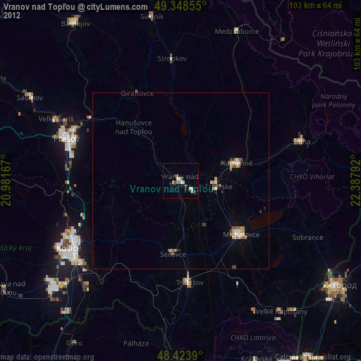
» Earth at Night: Flat Maps 2012, 2016