Medzilaborce night lights from space
Night Light of Medzilaborce (Prešovský kraj) from space (Slovakia) Src. Average luminocity for 10x10km area is 0.0829% and for 50x50km: 0.1072%.
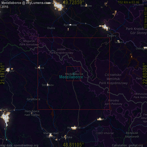
Analysis of Medzilaborce night lights 2016
Square area 10x10 km:
 0%
0%90-99
0%80-89
0%70-79
0%60-69
0%50-59
0%40-49
0%30-39
0%20-29
0%10-19
0.13%0-9
99.87%Square area 50x50 km:
0%90-99
0.04%80-89
0%70-79
0.02%60-69
0%50-59
0.02%40-49
0.04%30-39
0%20-29
0.02%10-19
0.01%0-9
99.84%Clear (daylight) street map image can be seen on geolist.org.
Map coordinates:
49° 43' 42.9" North, 21° 11' 51.4" East
49° 16' 19" North, 21° 54' 2.6" East
48° 48' 39.8" North, 22° 36' 13.9" East
Some cities around Medzilaborce sort by population:
• Sanok, PL
38.5 km =23.9 mi,  34°
34°
• Humenné
37.3 km =23.2 mi,  178°
178°
• Snina
36.4 km =22.6 mi,  149°
149°
• Svidník
24.3 km =15.1 mi,  279°
279°
• Stropkov
19.6 km =12.2 mi,  246°
246°
• Chlmec
43 km =26.7 mi, 176°
• Lesko, PL
38.1 km =23.7 mi,  54°
54°
• Zagórz, PL
37.8 km =23.5 mi,  44°
44°
724156 (p: 6,741)
Sources (retrieved 2019-11-25):
» Earth at Night: Flat Maps 2012, 2016