Shendi night lights from space
Night Light of Shendi (River Nile) from space (Sudan) Src. Average luminocity for 10x10km area is 17.2273% and for 50x50km: 0.9153%.
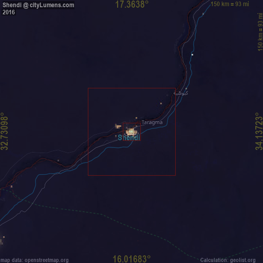
Analysis of Shendi night lights 2016
Square area 10x10 km:
 0%
0%90-99
0.65%80-89
0.65%70-79
3.03%60-69
6.28%50-59
4.98%40-49
3.46%30-39
3.9%20-29
1.95%10-19
3.68%0-9
71.43%Square area 50x50 km:
0%90-99
0.03%80-89
0.03%70-79
0.14%60-69
0.33%50-59
0.23%40-49
0.19%30-39
0.25%20-29
0.11%10-19
0.21%0-9
98.5%Clear (daylight) street map image can be seen on geolist.org.
Map coordinates:
17° 21' 49.7" North, 32° 43' 51.5" East
16° 41' 29.4" North, 33° 26' 2.8" East
16° 1' 0.6" North, 34° 8' 14" East
Some cities around Shendi sort by population:
• Khartoum
159.2 km =98.9 mi,  217°
217°
• Omdurman
154.9 km =96.3 mi, 221°
• Atbara
126.8 km =78.8 mi,  27°
27°
• Ed Damer
116 km =72.1 mi, 29°
• Berber
158.9 km =98.7 mi,  21°
21°
• El Bauga
181.7 km =112.9 mi, 16°
• El Matama
8.5 km =5.3 mi,  283°
283°
• Wad Rāwah
173.1 km =107.6 mi,  190°
190°
367308 (p: 53,568)
Sources (retrieved 2019-11-25):
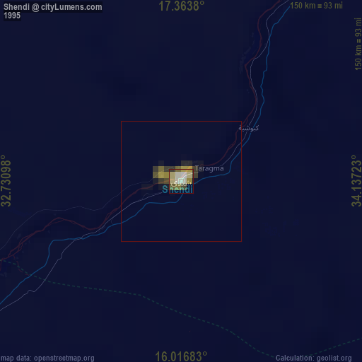
» NASA, Earths city lights 1995
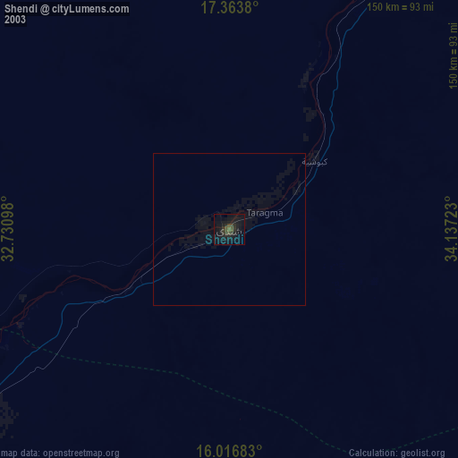
» NASA city lights 2003
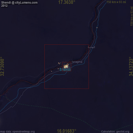
» Earth at Night: Flat Maps 2012, 2016