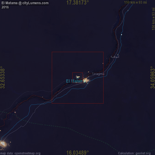
El Matama night lights from space
Night Light of El Matama (River Nile) from space (Sudan) Src. Average luminocity for 10x10km area is 5.0455% and for 50x50km: 0.9043%.
Analysis of El Matama night lights 2016
Square area 10x10 km:
 0%
0%90-99
0%80-89
0%70-79
0.65%60-69
2.16%50-59
0.65%40-49
0%30-39
2.16%20-29
0.87%10-19
1.3%0-9
92.21%Square area 50x50 km:
0%90-99
0.03%80-89
0.03%70-79
0.14%60-69
0.33%50-59
0.23%40-49
0.18%30-39
0.25%20-29
0.11%10-19
0.21%0-9
98.51%Clear (daylight) street map image can be seen on geolist.org.
Map coordinates:
17° 22' 54.2" North, 32° 39' 12.2" East
16° 42' 34.2" North, 33° 21' 23.4" East
16° 2' 5.6" North, 34° 3' 34.7" East
Some cities around El Matama sort by population:
• Khartoum
155.9 km =96.9 mi,  214°
214°
• Omdurman
151.1 km =93.9 mi,  218°
218°
• Atbara
129.1 km =80.2 mi,  31°
31°
• Ed Damer
118.6 km =73.7 mi, 33°
• Shendi
8.5 km =5.3 mi,  103°
103°
• Berber
160.3 km =99.6 mi,  24°
24°
• El Bauga
182.3 km =113.3 mi, 18°
• Wad Rāwah
173.8 km =108 mi,  187°
187°
379127 (p: 11,366)
Sources (retrieved 2019-11-25):
» Earth at Night: Flat Maps 2012, 2016