Ed Damer night lights from space
Night Light of Ed Damer (River Nile) from space (Sudan) Src. Average luminocity for 10x10km area is 18.7004% and for 50x50km: 2.7258%.
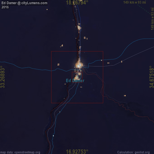
Analysis of Ed Damer night lights 2016
Square area 10x10 km:
 0%
0%90-99
0%80-89
0.83%70-79
2.69%60-69
5.79%50-59
6.4%40-49
6.82%30-39
1.45%20-29
4.55%10-19
10.74%0-9
60.74%Square area 50x50 km:
0.07%90-99
0.21%80-89
0.17%70-79
0.32%60-69
0.54%50-59
0.93%40-49
0.5%30-39
0.37%20-29
0.67%10-19
2.45%0-9
93.78%Clear (daylight) street map image can be seen on geolist.org.
Map coordinates:
18° 16' 4.6" North, 33° 16' 8.1" East
17° 35' 56.3" North, 33° 58' 19.4" East
16° 55' 39.1" North, 34° 40' 30.6" East
Some cities around Ed Damer sort by population:
• Omdurman
269.4 km =167.4 mi,  216°
216°
• Atbara
11.6 km =7.2 mi,  7°
7°
• Shendi
116 km =72.1 mi,  209°
209°
• Berber
47 km =29.2 mi,  1°
1°
• Kuraymah
248 km =154.1 mi,  295°
295°
• El Bauga
74 km =46 mi,  354°
354°
• El Matama
118.6 km =73.7 mi, 213°
• Merowe
248.1 km =154.2 mi,  292°
292°
380173 (p: 103,941)
Sources (retrieved 2019-11-25):
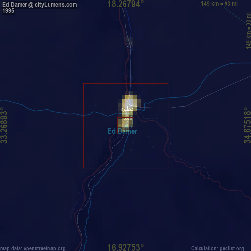
» NASA, Earths city lights 1995
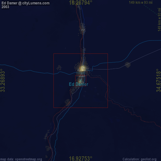
» NASA city lights 2003
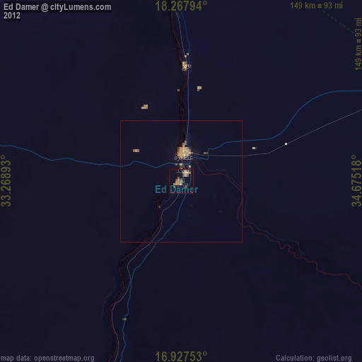
» Earth at Night: Flat Maps 2012, 2016