El Bauga night lights from space
Night Light of El Bauga (River Nile) from space (Sudan) Src. Average luminocity for 10x10km area is 1.3802% and for 50x50km: 0.405%.
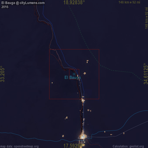
Analysis of El Bauga night lights 2016
Square area 10x10 km:
 0%
0%90-99
0%80-89
0%70-79
0%60-69
0.62%50-59
0.21%40-49
0.62%30-39
0.41%20-29
1.45%10-19
0%0-9
96.69%Square area 50x50 km:
0%90-99
0%80-89
0.01%70-79
0.06%60-69
0.18%50-59
0.08%40-49
0.09%30-39
0.14%20-29
0.11%10-19
0.06%0-9
99.27%Clear (daylight) street map image can be seen on geolist.org.
Map coordinates:
18° 55' 42.2" North, 33° 12' 18" East
18° 15' 43.1" North, 33° 54' 29.2" East
17° 35' 34.8" North, 34° 36' 40.5" East
Some cities around El Bauga sort by population:
• Atbara
62.8 km =39 mi,  172°
172°
• Ed Damer
74 km =46 mi, 174°
• Shendi
181.7 km =112.9 mi,  196°
196°
• Berber
27.9 km =17.3 mi,  163°
163°
• Kuraymah
219.5 km =136.4 mi,  278°
278°
• Ad Dabbah
313.4 km =194.7 mi,  265°
265°
• El Matama
182.3 km =113.3 mi, 198°
• Merowe
222.5 km =138.3 mi, 275°
379630 (p: 19,141)
Sources (retrieved 2019-11-25):
» Earth at Night: Flat Maps 2012, 2016