Nyala night lights from space
Night Light of Nyala (Southern Darfur) from space (Sudan) Src. Average luminocity for 10x10km area is 36.0124% and for 50x50km: 2.0284%.
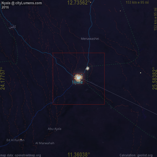
Analysis of Nyala night lights 2016
Square area 10x10 km:
 4.75%
4.75%90-99
5.17%80-89
0%70-79
8.26%60-69
4.55%50-59
8.68%40-49
7.85%30-39
6.4%20-29
6.82%10-19
28.93%0-9
18.6%Square area 50x50 km:
0.29%90-99
0.29%80-89
0%70-79
0.34%60-69
0.19%50-59
0.38%40-49
0.42%30-39
0.27%20-29
0.34%10-19
1.44%0-9
96.05%Clear (daylight) street map image can be seen on geolist.org.
Map coordinates:
12° 44' 8.2" North, 24° 10' 39.3" East
12° 2' 56" North, 24° 52' 50.5" East
11° 21' 37.4" North, 25° 35' 1.8" East
Some cities around Nyala sort by population:
• El Daein
150.4 km =93.5 mi,  115°
115°
• El Fasher
182.8 km =113.6 mi,  16°
16°
• Geneina
306.6 km =190.5 mi,  300°
300°
• Gereida
90.5 km =56.2 mi,  161°
161°
• Zalingei
180.5 km =112.2 mi, 301°
• Umm Kaddadah
261.1 km =162.2 mi,  48°
48°
• Birao, CF
300.9 km =187 mi,  229°
229°
• Kutum
240.3 km =149.3 mi,  354°
354°
369004 (p: 565,734)
Sources (retrieved 2019-11-25):
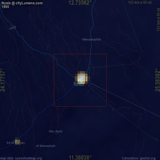
» NASA, Earths city lights 1995
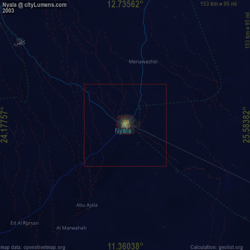
» NASA city lights 2003
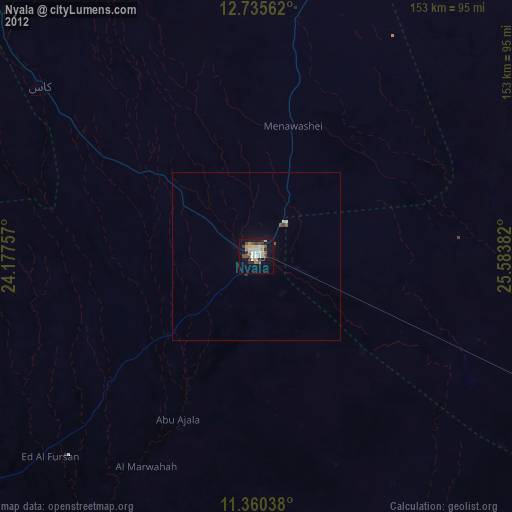
» Earth at Night: Flat Maps 2012, 2016