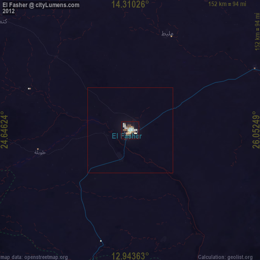
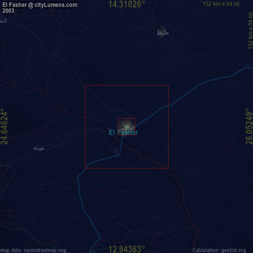
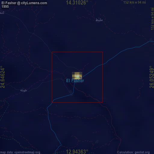
El Fasher night lights from space
Night Light of El Fasher (Northern Darfur) from space (Sudan) Src. Average luminocity for 10x10km area is 42.6012% and for 50x50km: 2.0105%.
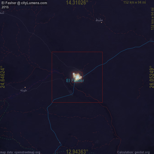
Analysis of El Fasher night lights 2016
Square area 10x10 km:
 9.5%
9.5%90-99
8.26%80-89
5.37%70-79
6.61%60-69
2.27%50-59
5.37%40-49
5.37%30-39
5.37%20-29
3.93%10-19
40.5%0-9
7.44%Square area 50x50 km:
0.38%90-99
0.33%80-89
0.21%70-79
0.26%60-69
0.09%50-59
0.21%40-49
0.21%30-39
0.21%20-29
0.16%10-19
2.27%0-9
95.65%Clear (daylight) street map image can be seen on geolist.org.
Map coordinates:
14° 18' 36.9" North, 24° 38' 46.5" East
13° 37' 40.5" North, 25° 20' 57.7" East
12° 56' 37.1" North, 26° 3' 9" East
Some cities around El Fasher sort by population:
• Nyala
182.8 km =113.6 mi,  196°
196°
• El Daein
255.2 km =158.6 mi,  160°
160°
• Geneina
314.3 km =195.3 mi,  266°
266°
• Gereida
262.6 km =163.2 mi,  184°
184°
• Zalingei
218.5 km =135.8 mi,  248°
248°
• Adré, TD
341 km =211.9 mi, 266°
• Umm Kaddadah
144.6 km =89.9 mi,  91°
91°
• Kutum
97.3 km =60.5 mi,  310°
310°
379555 (p: 252,609)
Sources (retrieved 2019-11-25):
» NASA, Earths city lights 1995
» NASA city lights 2003
» Earth at Night: Flat Maps 2012, 2016