Gereida night lights from space
Night Light of Gereida (Southern Darfur) from space (Sudan) Src. Average luminocity for 10x10km area is 0% and for 50x50km: 0.0257%.
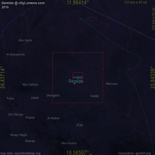

Analysis of Gereida night lights 2016
Square area 10x10 km:
 0%
0%90-99
0%80-89
0%70-79
0%60-69
0%50-59
0%40-49
0%30-39
0%20-29
0%10-19
0%0-9
100%Square area 50x50 km:
0%90-99
0%80-89
0%70-79
0%60-69
0%50-59
0.02%40-49
0.02%30-39
0%20-29
0.03%10-19
0%0-9
99.93%Clear (daylight) street map image can be seen on geolist.org.
Map coordinates:
11° 57' 50.9" North, 24° 26' 13.7" East
11° 16' 31.5" North, 25° 8' 24.9" East
10° 35' 6.3" North, 25° 50' 36.2" East
Some cities around Gereida sort by population:
• Nyala
90.5 km =56.2 mi,  341°
341°
• El Daein
109.4 km =68 mi,  79°
79°
• El Fasher
262.6 km =163.2 mi,  4°
4°
• Zalingei
256.8 km =159.6 mi,  315°
315°
• Al Mijlad
284.2 km =176.6 mi,  95°
95°
• Umm Kaddadah
308.4 km =191.6 mi,  33°
33°
• Birao, CF
279.5 km =173.7 mi,  246°
246°
• Raja, SS
317.7 km =197.4 mi,  169°
169°
8504621 (p: 120,000)
Sources (retrieved 2019-11-25):
» NASA, Earths city lights 1995
» NASA city lights 2003
» Earth at Night: Flat Maps 2012, 2016