Kuraymah night lights from space
Night Light of Kuraymah (Northern State) from space (Sudan) Src. Average luminocity for 10x10km area is 11.1095% and for 50x50km: 1.0188%.
Analysis of Kuraymah night lights 2016
Square area 10x10 km:
 0.41%
0.41%90-99
0.41%80-89
0%70-79
0%60-69
2.48%50-59
6.61%40-49
2.48%30-39
3.51%20-29
1.45%10-19
0.21%0-9
82.44%Square area 50x50 km:
0.03%90-99
0.04%80-89
0.07%70-79
0.04%60-69
0.3%50-59
0.45%40-49
0.14%30-39
0.17%20-29
0.18%10-19
0.17%0-9
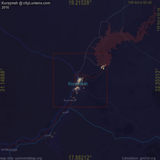
98.4%Clear (daylight) street map image can be seen on geolist.org.
Map coordinates:
19° 12' 55" North, 31° 8' 48.8" East
18° 33' 0" North, 31° 51' 0" East
17° 52' 55.6" North, 32° 33' 11.3" East
Some cities around Kuraymah sort by population:
• Atbara
244.6 km =152 mi,  112°
112°
• Ed Damer
248 km =154.1 mi,  115°
115°
• Berber
232.7 km =144.6 mi,  104°
104°
• El Bauga
219.5 km =136.4 mi, 98°
• Dongola
160.6 km =99.8 mi,  295°
295°
• Ad Dabbah
110.1 km =68.4 mi,  239°
239°
• Merowe
9.8 km =6.1 mi,  204°
204°
• Argo
185.1 km =115 mi,  305°
305°
371870 (p: 19,593)
Sources (retrieved 2019-11-25):
» Earth at Night: Flat Maps 2012, 2016