Merowe night lights from space
Night Light of Merowe (Northern State) from space (Sudan) Src. Average luminocity for 10x10km area is 7.7293% and for 50x50km: 0.8812%.
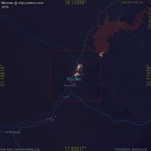
Analysis of Merowe night lights 2016
Square area 10x10 km:
 0.41%
0.41%90-99
0.41%80-89
0%70-79
0.41%60-69
2.89%50-59
3.72%40-49
0%30-39
0.41%20-29
2.48%10-19
0%0-9
89.26%Square area 50x50 km:
0.03%90-99
0.03%80-89
0.03%70-79
0.02%60-69
0.25%50-59
0.42%40-49
0.11%30-39
0.16%20-29
0.16%10-19
0.17%0-9
98.59%Clear (daylight) street map image can be seen on geolist.org.
Map coordinates:
19° 8' 9.5" North, 31° 6' 29.3" East
18° 28' 13.3" North, 31° 48' 40.5" East
17° 48' 7.8" North, 32° 30' 51.8" East
Some cities around Merowe sort by population:
• Atbara
245.3 km =152.4 mi,  110°
110°
• Ed Damer
248.1 km =154.2 mi, 112°
• Berber
234.7 km =145.8 mi,  102°
102°
• Kuraymah
9.8 km =6.1 mi,  24°
24°
• El Bauga
222.5 km =138.3 mi, 95°
• Dongola
161.2 km =100.2 mi,  299°
299°
• Ad Dabbah
102.2 km =63.5 mi,  242°
242°
• Argo
187.2 km =116.3 mi,  308°
308°
370481 (p: 10,234)
Sources (retrieved 2019-11-25):
» Earth at Night: Flat Maps 2012, 2016