Ad Dabbah night lights from space
Night Light of Ad Dabbah (Northern State) from space (Sudan) Src. Average luminocity for 10x10km area is 4.1385% and for 50x50km: 0.1786%.
Analysis of Ad Dabbah night lights 2016
Square area 10x10 km:
 0%
0%90-99
0%80-89
0.43%70-79
0.43%60-69
0.87%50-59
2.6%40-49
1.3%30-39
0.43%20-29
0.87%10-19
0%0-9
93.07%Square area 50x50 km:
0%90-99
0%80-89
0.02%70-79
0.02%60-69
0.03%50-59
0.13%40-49
0.05%30-39
0.02%20-29
0.03%10-19
0%0-9
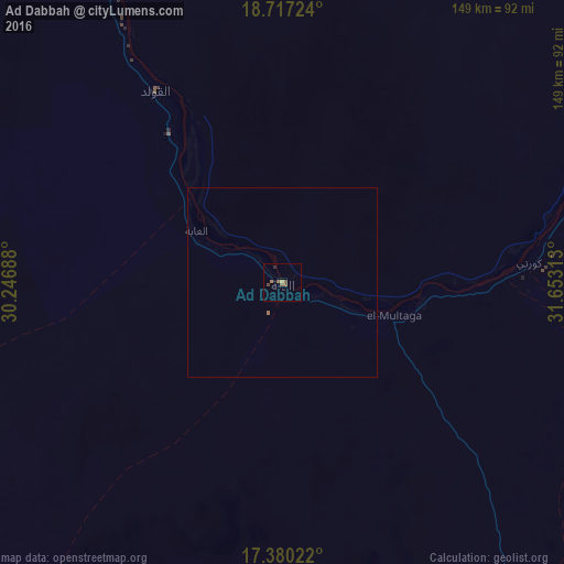
99.7%Clear (daylight) street map image can be seen on geolist.org.
Map coordinates:
18° 43' 2.1" North, 30° 14' 48.8" East
18° 3' 0" North, 30° 57' 0" East
17° 22' 48.8" North, 31° 39' 11.3" East
Some cities around Ad Dabbah sort by population:
• Omdurman
313 km =194.5 mi,  148°
148°
• Shendi
303.8 km =188.8 mi,  119°
119°
• Kuraymah
110.1 km =68.4 mi,  59°
59°
• El Bauga
313.4 km =194.7 mi,  85°
85°
• Dongola
135.3 km =84.1 mi,  338°
338°
• El Matama
295.7 km =183.7 mi, 120°
• Merowe
102.2 km =63.5 mi, 62°
• Argo
172.5 km =107.2 mi, 341°
380186 (p: 11,626)
Sources (retrieved 2019-11-25):
» Earth at Night: Flat Maps 2012, 2016