Ar Rahad night lights from space
Night Light of Ar Rahad (North Kordofan) from space (Sudan) Src. Average luminocity for 10x10km area is 3.9805% and for 50x50km: 0.1577%.
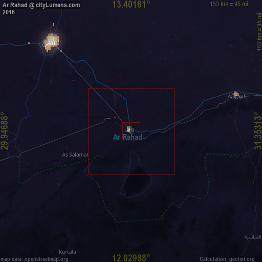
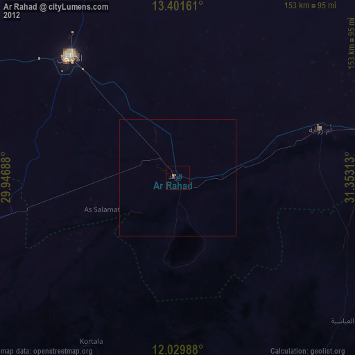
Analysis of Ar Rahad night lights 2016
Square area 10x10 km:
 0%
0%90-99
0%80-89
0.87%70-79
0%60-69
0.87%50-59
1.52%40-49
1.95%30-39
0.87%20-29
1.08%10-19
0.65%0-9
92.21%Square area 50x50 km:
0%90-99
0%80-89
0.03%70-79
0%60-69
0.03%50-59
0.06%40-49
0.08%30-39
0.03%20-29
0.04%10-19
0.03%0-9
99.69%Clear (daylight) street map image can be seen on geolist.org.
Map coordinates:
13° 24' 5.8" North, 29° 56' 48.8" East
12° 43' 0" North, 30° 39' 0" East
12° 1' 47.6" North, 31° 21' 11.3" East
Some cities around Ar Rahad sort by population:
• El Obeid
70.1 km =43.6 mi,  317°
317°
• Umm Ruwaba
64.9 km =40.3 mi,  71°
71°
• Dilling
131.5 km =81.7 mi,  235°
235°
• Tandaltī
136 km =84.5 mi,  75°
75°
• Abu Jibeha
153.6 km =95.4 mi,  155°
155°
• Bārah
113.6 km =70.6 mi,  344°
344°
• Abū Zabad
157.3 km =97.7 mi,  254°
254°
• Marabba
171.3 km =106.4 mi,  103°
103°
378493 (p: 26,273)
Sources (retrieved 2019-11-25):
» Earth at Night: Flat Maps 2012, 2016