El Obeid night lights from space
Night Light of El Obeid (North Kordofan) from space (Sudan) Src. Average luminocity for 10x10km area is 52.2165% and for 50x50km: 2.5675%.
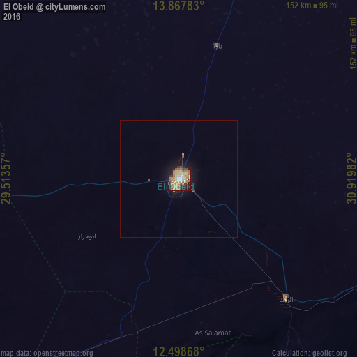
Analysis of El Obeid night lights 2016
Square area 10x10 km:
 5.41%
5.41%90-99
5.63%80-89
10.17%70-79
15.15%60-69
14.29%50-59
6.28%40-49
4.55%30-39
4.55%20-29
6.06%10-19
26.41%0-9
1.52%Square area 50x50 km:
0.2%90-99
0.21%80-89
0.38%70-79
0.64%60-69
0.54%50-59
0.24%40-49
0.29%30-39
0.19%20-29
0.23%10-19
2.64%0-9
94.44%Clear (daylight) street map image can be seen on geolist.org.
Map coordinates:
13° 52' 4.2" North, 29° 30' 48.9" East
13° 11' 3.2" North, 30° 13' 0.1" East
12° 29' 55.2" North, 30° 55' 11.4" East
Some cities around El Obeid sort by population:
• An Nuhūd
200.6 km =124.6 mi,  254°
254°
• Umm Ruwaba
112.6 km =70 mi,  105°
105°
• Dilling
140.3 km =87.2 mi,  205°
205°
• Tandaltī
179.7 km =111.7 mi,  95°
95°
• Ar Rahad
70.1 km =43.6 mi,  137°
137°
• Abu Jibeha
221.4 km =137.6 mi,  150°
150°
• Bārah
59.6 km =37 mi,  15°
15°
• Abū Zabad
140 km =87 mi,  228°
228°
379003 (p: 393,311)
Sources (retrieved 2019-11-25):
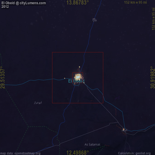
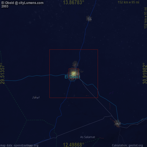
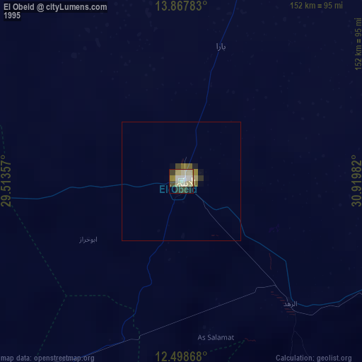
» NASA, Earths city lights 1995
» NASA city lights 2003
» Earth at Night: Flat Maps 2012, 2016