Ţubarjal night lights from space
Night Light of Ţubarjal (Al Jawf) from space (Saudi Arabia) Src. Average luminocity for 10x10km area is 78.3919% and for 50x50km: 8.9409%.
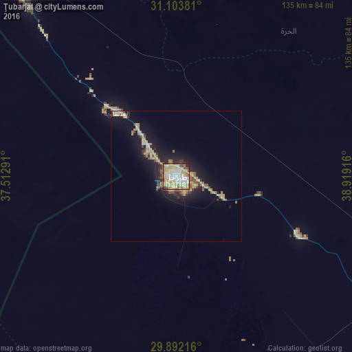
Analysis of Ţubarjal night lights 2016
Square area 10x10 km:
 16.85%
90-99
19.41%80-89
15.75%70-79
23.81%60-69
6.96%50-59
5.13%40-49
4.58%30-39
4.21%20-29
2.75%10-19
0.55%0-9
0%Square area 50x50 km:
0.9%90-99
1.28%80-89
1.12%70-79
2.59%60-69
0.7%50-59
1.15%40-49
0.8%30-39
1.09%20-29
1.7%10-19
7.3%0-9
81.37%Clear (daylight) street map image can be seen on geolist.org.
Map coordinates:
31° 6' 13.7" North, 37° 30' 46.5" East
30° 29' 59.5" North, 38° 12' 57.7" East
29° 53' 31.8" North, 38° 55' 9" East
Some cities around Ţubarjal sort by population:
• Sakakah
200.1 km =124.3 mi,  107°
107°
• Qurayyat
124.5 km =77.4 mi,  317°
317°
• Ma'an, JO
240.5 km =149.4 mi,  261°
261°
• Turaif
137.2 km =85.3 mi,  18°
18°
• Karak City, JO
245.6 km =152.6 mi,  287°
287°
• Al Azraq ash Shamālī, JO
202.5 km =125.8 mi, 319°
• Al Mazār al Janūbī, JO
248.9 km =154.7 mi,  284°
284°
• Şuwayr
212.9 km =132.3 mi,  101°
101°
101631 (p: 40,019)
Sources (retrieved 2019-11-25):
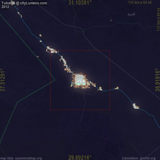
» Earth at Night: Flat Maps 2012, 2016