Ma'an night lights from space
Night Light of Ma'an (Ma’an) from space (Jordan) Src. Average luminocity for 10x10km area is 43.5332% and for 50x50km: 5.3758%.
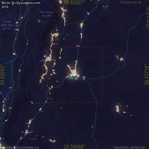
Analysis of Ma'an night lights 2016
Square area 10x10 km:
 6.82%
6.82%90-99
7.17%80-89
5.42%70-79
13.46%60-69
1.4%50-59
2.97%40-49
5.59%30-39
8.39%20-29
10.14%10-19
31.82%0-9
6.82%Square area 50x50 km:
0.39%90-99
0.46%80-89
0.34%70-79
1.98%60-69
0.39%50-59
0.35%40-49
0.96%30-39
0.71%20-29
0.92%10-19
4.95%0-9
88.57%Clear (daylight) street map image can be seen on geolist.org.
Map coordinates:
30° 48' 7.5" North, 35° 1' 51.3" East
30° 11' 46.5" North, 35° 44' 2.6" East
29° 35' 12" North, 36° 26' 13.8" East
Some cities around Ma'an sort by population:
• Aqaba
102.2 km =63.5 mi,  223°
223°
• Aţ Ţafīlah
72.4 km =45 mi,  350°
350°
• Safi
96.9 km =60.2 mi,  344°
344°
• Petra
28.2 km =17.5 mi,  299°
299°
• Al Mazār al Janūbī
96.9 km =60.2 mi,  357°
357°
• Al Quwayrah
59.9 km =37.2 mi, 222°
• Buşayrā
60.8 km =37.8 mi, 348°
• Al Khinzīrah
95.8 km =59.5 mi, 352°
248382 (p: 50,350)
Sources (retrieved 2019-11-25):
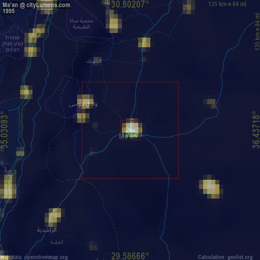
» NASA, Earths city lights 1995
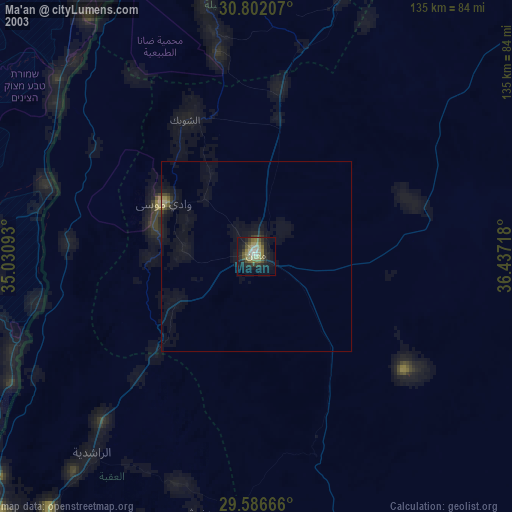
» NASA city lights 2003
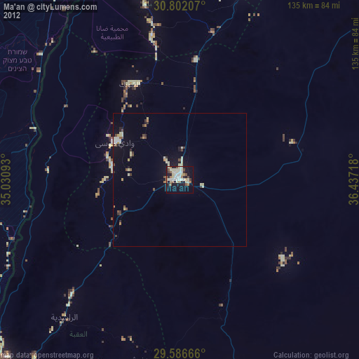
» Earth at Night: Flat Maps 2012, 2016