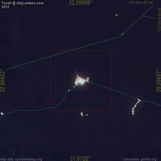
Turaif night lights from space
Night Light of Turaif (Northern Borders) from space (Saudi Arabia) Src. Average luminocity for 10x10km area is 54.2308% and for 50x50km: 3.596%.
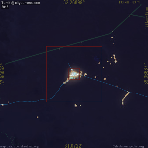
Analysis of Turaif night lights 2016
Square area 10x10 km:
 10.44%
90-99
10.07%80-89
8.97%70-79
10.99%60-69
1.83%50-59
3.3%40-49
10.99%30-39
11.36%20-29
15.38%10-19
16.3%0-9
0.37%Square area 50x50 km:
0.42%90-99
0.42%80-89
0.58%70-79
0.74%60-69
0.19%50-59
0.23%40-49
0.62%30-39
0.57%20-29
0.9%10-19
3.15%0-9
92.17%Clear (daylight) street map image can be seen on geolist.org.
Map coordinates:
32° 16' 8.4" North, 37° 57' 38.2" East
31° 40' 21.1" North, 38° 39' 49.5" East
31° 4' 19.9" North, 39° 22' 0.7" East
Some cities around Turaif sort by population:
• Qurayyat
130.8 km =81.3 mi,  253°
253°
• Rukban, JO
182.6 km =113.5 mi,  1°
1°
• As-Suwayda, SY
228.3 km =141.9 mi,  300°
300°
• Ţubarjal
137.2 km =85.3 mi,  198°
198°
• Ar Ruţbah, IQ
215 km =133.6 mi,  45°
45°
• Al Azraq ash Shamālī, JO
174.9 km =108.7 mi,  277°
277°
• Shahbā, SY
232.1 km =144.2 mi, 304°
• Şabḩā, JO
216.5 km =134.5 mi,  289°
289°
101312 (p: 40,819)
Sources (retrieved 2019-11-25):
» Earth at Night: Flat Maps 2012, 2016