Karak City night lights from space
Night Light of Karak City (Karak) from space (Jordan) Src. Average luminocity for 10x10km area is 42.2637% and for 50x50km: 8.9927%.
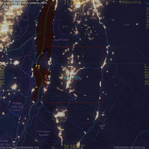
Analysis of Karak City night lights 2016
Square area 10x10 km:
 6.78%
6.78%90-99
8.24%80-89
5.13%70-79
8.79%60-69
0.92%50-59
5.86%40-49
9.71%30-39
6.23%20-29
13.37%10-19
17.03%0-9
17.95%Square area 50x50 km:
0.72%90-99
0.96%80-89
0.94%70-79
1.92%60-69
0.88%50-59
1.02%40-49
1.97%30-39
1.49%20-29
2.78%10-19
6.14%0-9
81.17%Clear (daylight) street map image can be seen on geolist.org.
Map coordinates:
31° 45' 48.3" North, 35° 3' 32.1" East
31° 9' 49.2" North, 35° 45' 43.3" East
30° 33' 36.4" North, 36° 27' 54.6" East
Some cities around Karak City sort by population:
• Aţ Ţafīlah
39.3 km =24.4 mi,  202°
202°
• ‘Izrā
6.6 km =4.1 mi,  265°
265°
• Qīr Moāv
6.3 km =3.9 mi,  289°
289°
• Safi
31.6 km =19.6 mi,  243°
243°
• Al Mazār al Janūbī
12.5 km =7.8 mi,  210°
210°
• ‘Ayy
11.7 km =7.3 mi,  253°
253°
• Buşayrā
50.1 km =31.1 mi, 196°
• Al Khinzīrah
19.5 km =12.1 mi,  229°
229°
6946409 (p: 21,678)
Sources (retrieved 2019-11-25):
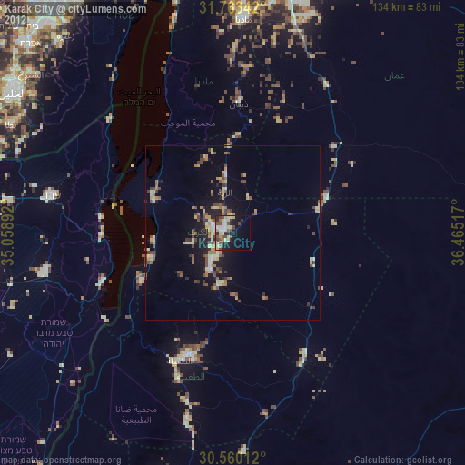
» Earth at Night: Flat Maps 2012, 2016