Sulţānah night lights from space
Night Light of Sulţānah (Al Madīnah al Munawwarah) from space (Saudi Arabia) Src. Average luminocity for 10x10km area is 98.9603% and for 50x50km: 43.5316%.
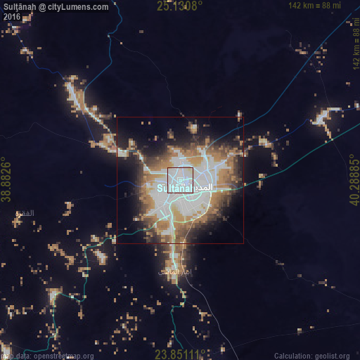
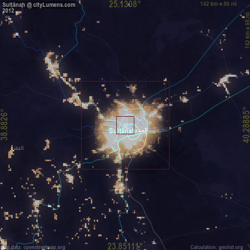
Analysis of Sulţānah night lights 2016
Square area 10x10 km:
 74.8%
74.8%90-99
21.63%80-89
2.98%70-79
0.6%60-69
0%50-59
0%40-49
0%30-39
0%20-29
0%10-19
0%0-9
0%Square area 50x50 km:
14.04%90-99
8.57%80-89
2.28%70-79
4.08%60-69
9.94%50-59
3.69%40-49
4.69%30-39
5.62%20-29
6.5%10-19
10.22%0-9
30.36%Clear (daylight) street map image can be seen on geolist.org.
Map coordinates:
25° 7' 50.9" North, 38° 52' 57.4" East
24° 29' 33.3" North, 39° 35' 8.6" East
23° 51' 4" North, 40° 17' 19.9" East
Some cities around Sulţānah sort by population:
• Medina
3.9 km =2.4 mi,  132°
132°
• Yanbu
160.8 km =99.9 mi,  253°
253°
• Rābigh
196.5 km =122.1 mi,  196°
196°
• Umm Lajj
241.2 km =149.9 mi,  284°
284°
• Al-`Ula
288.4 km =179.2 mi,  324°
324°
• Badr Ḩunayn
112.9 km =70.2 mi,  225°
225°
• Al Jumūm
319.7 km =198.7 mi,  177°
177°
• Al Muwayh
318.6 km =198 mi,  135°
135°
101760 (p: 946,697)
Sources (retrieved 2019-11-25):
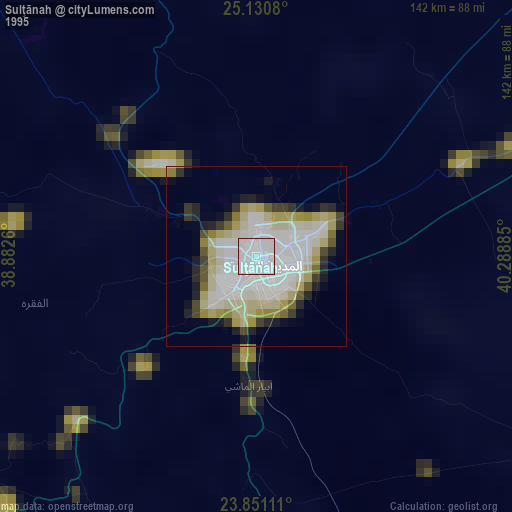
» NASA, Earths city lights 1995
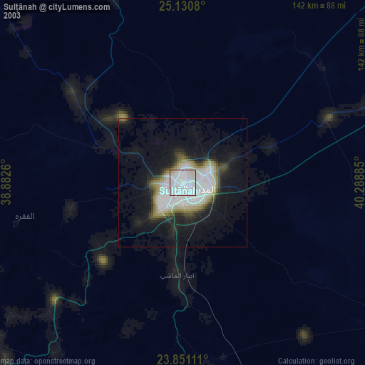
» NASA city lights 2003
» Earth at Night: Flat Maps 2012, 2016