Umm Lajj night lights from space
Night Light of Umm Lajj (Tabuk) from space (Saudi Arabia) Src. Average luminocity for 10x10km area is 64.6269% and for 50x50km: 9.0434%.
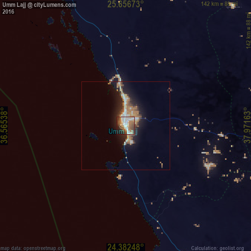
Analysis of Umm Lajj night lights 2016
Square area 10x10 km:
 13.83%
90-99
19.51%80-89
3.79%70-79
1.52%60-69
21.59%50-59
6.63%40-49
8.71%30-39
9.47%20-29
7.58%10-19
7.01%0-9
0.38%Square area 50x50 km:
1.16%90-99
1.73%80-89
0.66%70-79
0.63%60-69
2.82%50-59
0.86%40-49
1.13%30-39
1.4%20-29
2.34%10-19
6.36%0-9
80.93%Clear (daylight) street map image can be seen on geolist.org.
Map coordinates:
25° 39' 24.2" North, 36° 33' 55.4" East
25° 1' 16.5" North, 37° 16' 6.6" East
24° 22' 56.9" North, 37° 58' 17.9" East
Some cities around Umm Lajj sort by population:
• Medina
244.7 km =152 mi,  104°
104°
• Sulţānah
241.2 km =149.9 mi, 104°
• Yanbu
131 km =81.4 mi,  142°
142°
• Al-`Ula
188.3 km =117 mi,  20°
20°
• Badr Ḩunayn
206.7 km =128.4 mi,  131°
131°
• Al Wajh
158.8 km =98.7 mi,  328°
328°
• Duba
303.2 km =188.4 mi, 328°
• Marsa Alam, EG
239.6 km =148.9 mi,  271°
271°
100926 (p: 33,874)
Sources (retrieved 2019-11-25):
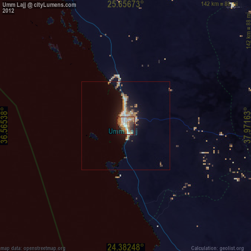
» Earth at Night: Flat Maps 2012, 2016