Al-`Ula night lights from space
Night Light of Al-`Ula (Al Madīnah al Munawwarah) from space (Saudi Arabia) Src. Average luminocity for 10x10km area is 51.9811% and for 50x50km: 9.55%.
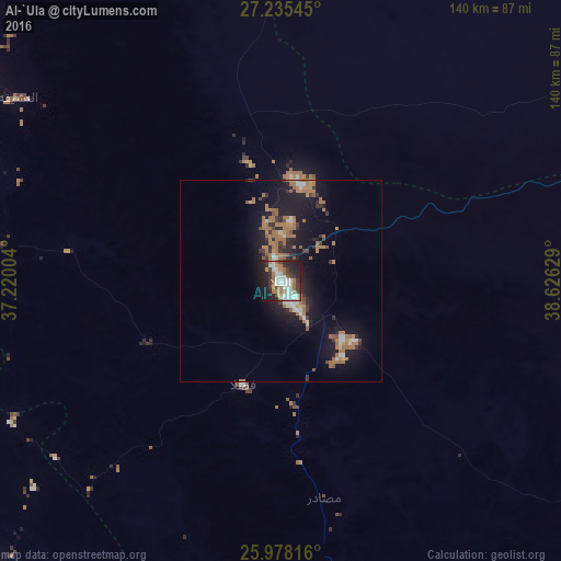
Analysis of Al-`Ula night lights 2016
Square area 10x10 km:
 12.69%
90-99
13.07%80-89
1.52%70-79
3.79%60-69
12.31%50-59
3.03%40-49
4.73%30-39
11.17%20-29
17.8%10-19
18.75%0-9
1.14%Square area 50x50 km:
1.02%90-99
1.12%80-89
0.39%70-79
0.52%60-69
4.14%50-59
1%40-49
0.6%30-39
1.57%20-29
2.37%10-19
9.54%0-9
77.74%Clear (daylight) street map image can be seen on geolist.org.
Map coordinates:
27° 14' 7.6" North, 37° 13' 12.1" East
26° 36' 30.7" North, 37° 55' 23.4" East
25° 58' 41.4" North, 38° 37' 34.6" East
Some cities around Al-`Ula sort by population:
• Medina
292.2 km =181.6 mi,  144°
144°
• Sulţānah
288.4 km =179.2 mi, 144°
• Tabuk
239.7 km =148.9 mi,  326°
326°
• Yanbu
280.4 km =174.2 mi,  177°
177°
• Umm Lajj
188.3 km =117 mi,  200°
200°
• Badr Ḩunayn
326.1 km =202.6 mi,  164°
164°
• Al Wajh
151.9 km =94.4 mi,  254°
254°
• Duba
236.2 km =146.8 mi,  290°
290°
108841 (p: 32,413)
Sources (retrieved 2019-11-25):
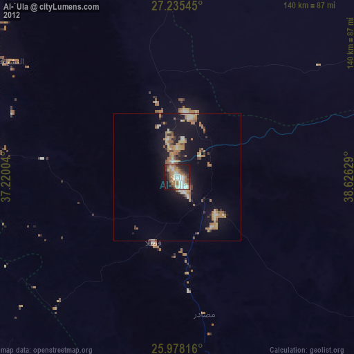
» Earth at Night: Flat Maps 2012, 2016