Badr Ḩunayn night lights from space
Night Light of Badr Ḩunayn (Al Madīnah al Munawwarah) from space (Saudi Arabia) Src. Average luminocity for 10x10km area is 67.9167% and for 50x50km: 8.0147%.
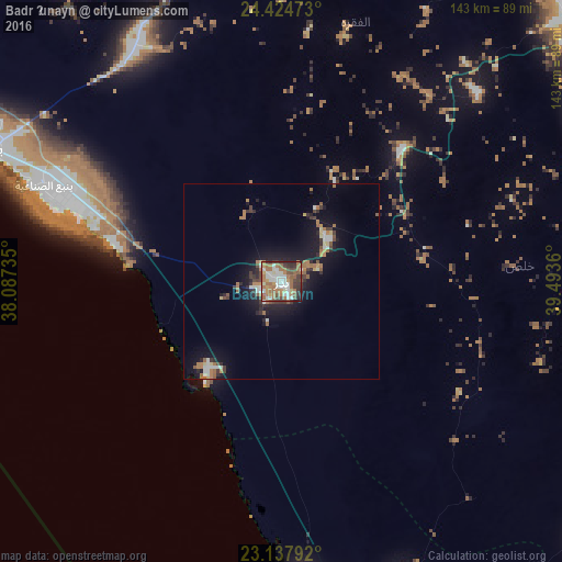
Analysis of Badr Ḩunayn night lights 2016
Square area 10x10 km:
 12.3%
12.3%90-99
17.06%80-89
3.97%70-79
6.75%60-69
28.17%50-59
6.94%40-49
9.33%30-39
11.11%20-29
3.97%10-19
0.4%0-9
0%Square area 50x50 km:
0.86%90-99
1.27%80-89
0.53%70-79
0.5%60-69
2.46%50-59
0.82%40-49
0.96%30-39
1.43%20-29
1.75%10-19
6.95%0-9
82.48%Clear (daylight) street map image can be seen on geolist.org.
Map coordinates:
24° 25' 29" North, 38° 5' 14.5" East
23° 46' 58.5" North, 38° 47' 25.7" East
23° 8' 16.5" North, 39° 29' 37" East
Some cities around Badr Ḩunayn sort by population:
• Jeddah
258.1 km =160.4 mi,  170°
170°
• Mecca
282.7 km =175.7 mi,  157°
157°
• Medina
113.1 km =70.3 mi,  47°
47°
• Sulţānah
112.9 km =70.2 mi, 45°
• Yanbu
81.5 km =50.6 mi,  294°
294°
• Rābigh
112.3 km =69.8 mi, 167°
• Umm Lajj
206.7 km =128.4 mi,  311°
311°
• Al Jumūm
257.9 km =160.3 mi, 158°
107744 (p: 27,257)
Sources (retrieved 2019-11-25):
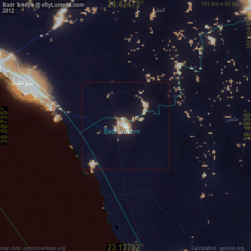
» Earth at Night: Flat Maps 2012, 2016