Al Muwayh night lights from space
Night Light of Al Muwayh (Makkah) from space (Saudi Arabia) Src. Average luminocity for 10x10km area is 36.7955% and for 50x50km: 2.011%.
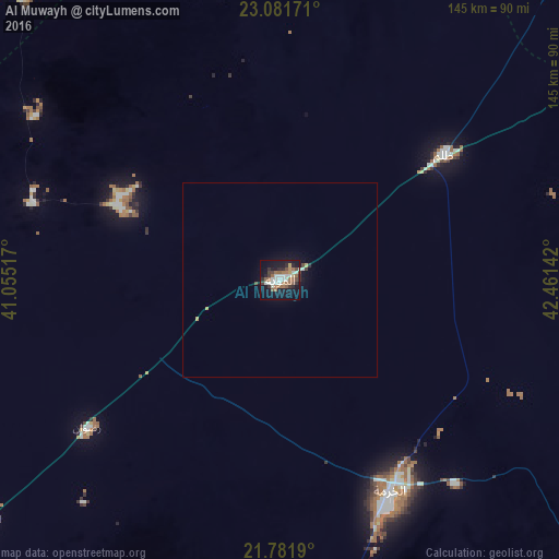
Analysis of Al Muwayh night lights 2016
Square area 10x10 km:
 6.82%
6.82%90-99
7.01%80-89
1.52%70-79
1.7%60-69
9.47%50-59
6.44%40-49
3.98%30-39
4.92%20-29
7.2%10-19
36.55%0-9
14.39%Square area 50x50 km:
0.29%90-99
0.34%80-89
0.1%70-79
0.14%60-69
0.4%50-59
0.28%40-49
0.24%30-39
0.26%20-29
0.35%10-19
2.02%0-9
95.59%Clear (daylight) street map image can be seen on geolist.org.
Map coordinates:
23° 4' 54.2" North, 41° 3' 18.6" East
22° 25' 60" North, 41° 45' 29.8" East
21° 46' 54.8" North, 42° 27' 41.1" East
Some cities around Al Muwayh sort by population:
• Mecca
228.6 km =142 mi,  240°
240°
• Ta’if
189.5 km =117.7 mi,  226°
226°
• Ash Shafā
212.1 km =131.8 mi,  224°
224°
• Afif
202.1 km =125.6 mi,  35°
35°
• Turabah
136.2 km =84.6 mi,  185°
185°
• Al Jumūm
231 km =143.5 mi,  246°
246°
• Al Mindak
257.6 km =160.1 mi, 191°
• Al Hadā
193.7 km =120.4 mi, 231°
409993 (p: 7,364)
Sources (retrieved 2019-11-25):
» Earth at Night: Flat Maps 2012, 2016