Qal‘at Bīshah night lights from space
Night Light of Qal‘at Bīshah ('Asir) from space (Saudi Arabia) Src. Average luminocity for 10x10km area is 90.1528% and for 50x50km: 26.7072%.
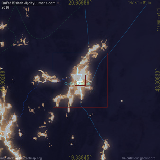
Analysis of Qal‘at Bīshah night lights 2016
Square area 10x10 km:
 39.09%
90-99
28.17%80-89
3.97%70-79
15.87%60-69
11.51%50-59
1.39%40-49
0%30-39
0%20-29
0%10-19
0%0-9
0%Square area 50x50 km:
5.39%90-99
5.14%80-89
1.42%70-79
2.31%60-69
6.74%50-59
4.76%40-49
3.21%30-39
3.8%20-29
5.83%10-19
11.35%0-9
50.05%Clear (daylight) street map image can be seen on geolist.org.
Map coordinates:
20° 39' 35.5" North, 41° 54' 7.5" East
20° 0' 1.9" North, 42° 36' 18.7" East
19° 20' 18.4" North, 43° 18' 30" East
Some cities around Qal‘at Bīshah sort by population:
• Khamis Mushait
189.6 km =117.8 mi,  175°
175°
• Abha
198.7 km =123.5 mi, 183°
• Al Bahah
118.9 km =73.9 mi,  270°
270°
• An Nimāş
107.8 km =67 mi,  208°
208°
• Turabah
168.6 km =104.8 mi,  323°
323°
• Al Majāridah
121.6 km =75.6 mi,  216°
216°
• Al Mindak
139.2 km =86.5 mi,  277°
277°
• Tabālah
22.2 km =13.8 mi,  255°
255°
103369 (p: 81,828)
Sources (retrieved 2019-11-25):
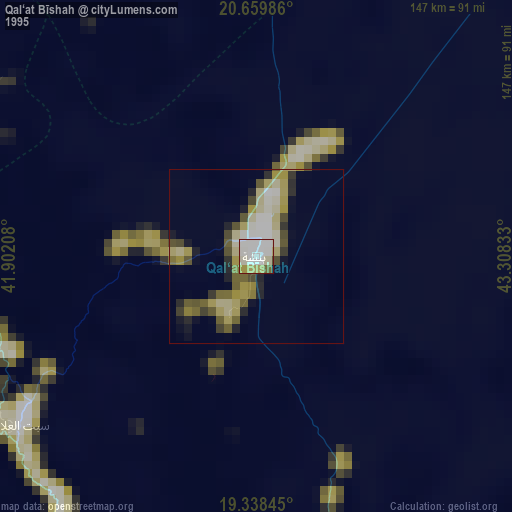
» NASA, Earths city lights 1995
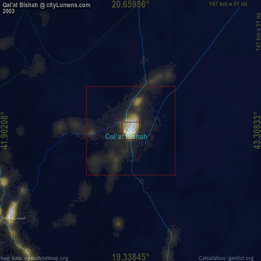
» NASA city lights 2003
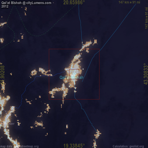
» Earth at Night: Flat Maps 2012, 2016