An Nimāş night lights from space
Night Light of An Nimāş ('Asir) from space (Saudi Arabia) Src. Average luminocity for 10x10km area is 73.4134% and for 50x50km: 34.195%.
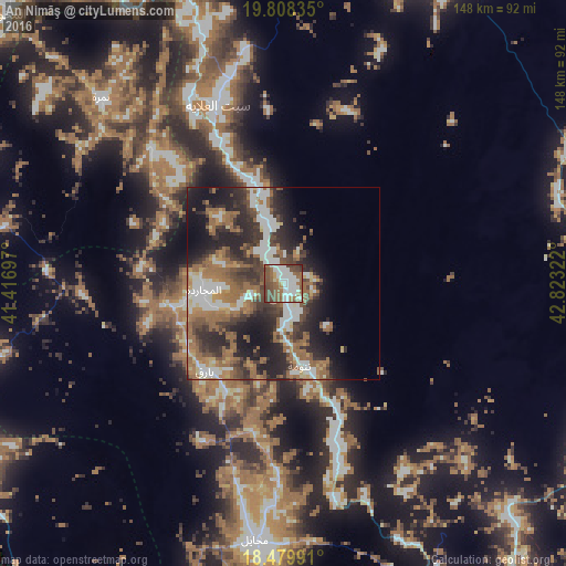
Analysis of An Nimāş night lights 2016
Square area 10x10 km:
 20.35%
90-99
22.08%80-89
2.16%70-79
2.6%60-69
15.8%50-59
16.02%40-49
17.32%30-39
3.46%20-29
0.22%10-19
0%0-9
0%Square area 50x50 km:
5.62%90-99
6.12%80-89
1.95%70-79
2.66%60-69
8.85%50-59
6.8%40-49
5.64%30-39
7.16%20-29
10.86%10-19
11.98%0-9
32.37%Clear (daylight) street map image can be seen on geolist.org.
Map coordinates:
19° 48' 30.1" North, 41° 25' 1.1" East
19° 8' 43.7" North, 42° 7' 12.3" East
18° 28' 47.7" North, 42° 49' 23.6" East
Some cities around An Nimāş sort by population:
• Khamis Mushait
114.1 km =70.9 mi,  145°
145°
• Abha
111 km =69 mi,  158°
158°
• Al Bahah
118.2 km =73.4 mi,  324°
324°
• Qal‘at Bīshah
107.8 km =67 mi,  28°
28°
• Al Majāridah
22.1 km =13.7 mi,  263°
263°
• Al Mindak
142.7 km =88.7 mi, 322°
• Ad Darb
158.8 km =98.7 mi,  174°
174°
• Tabālah
94.1 km =58.5 mi,  18°
18°
108617 (p: 24,153)
Sources (retrieved 2019-11-25):
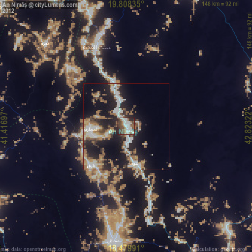
» Earth at Night: Flat Maps 2012, 2016