Al Bahah night lights from space
Night Light of Al Bahah from space (Saudi Arabia) Src. Average luminocity for 10x10km area is 89.5516% and for 50x50km: 50.3932%.
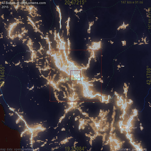
Analysis of Al Bahah night lights 2016
Square area 10x10 km:
 41.87%
90-99
28.17%80-89
2.98%70-79
8.73%60-69
12.7%50-59
2.98%40-49
2.38%30-39
0.2%20-29
0%10-19
0%0-9
0%Square area 50x50 km:
11.67%90-99
9.99%80-89
1.92%70-79
4.43%60-69
13.37%50-59
8.76%40-49
7.87%30-39
7.86%20-29
10.39%10-19
11.44%0-9
12.29%Clear (daylight) street map image can be seen on geolist.org.
Map coordinates:
20° 40' 19.7" North, 40° 45' 52.4" East
20° 0' 46.4" North, 41° 28' 3.6" East
19° 21' 3" North, 42° 10' 14.9" East
Some cities around Al Bahah sort by population:
• Ta’if
177.6 km =110.4 mi,  321°
321°
• Qal‘at Bīshah
118.9 km =73.9 mi,  90°
90°
• Ash Shafā
167.9 km =104.3 mi,  314°
314°
• An Nimāş
118.2 km =73.4 mi,  144°
144°
• Turabah
134.7 km =83.7 mi,  7°
7°
• Al Majāridah
109.2 km =67.9 mi,  154°
154°
• Al Mindak
25.2 km =15.7 mi, 310°
• Tabālah
97.7 km =60.7 mi, 94°
109953 (p: 88,419)
Sources (retrieved 2019-11-25):
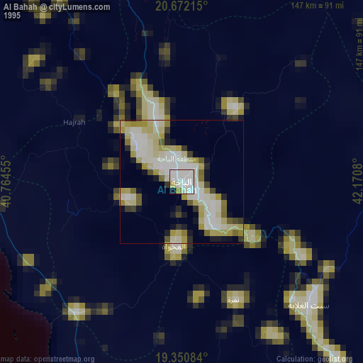
» NASA, Earths city lights 1995
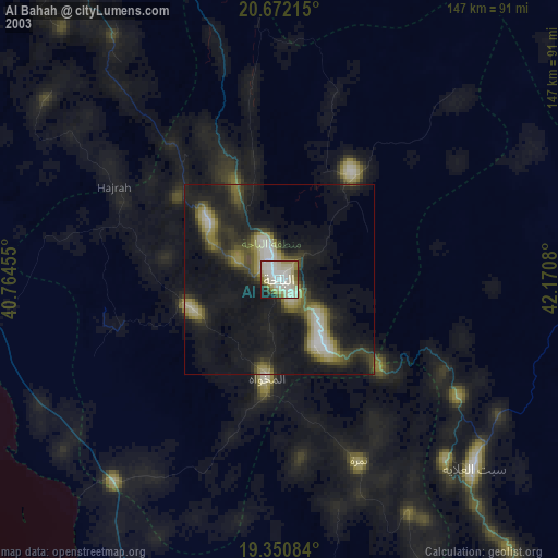
» NASA city lights 2003
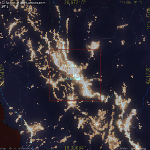
» Earth at Night: Flat Maps 2012, 2016